Insights

GEO Business 2026 recap: Why our latest Pointorama release turned heads
At GEO Business 2026, Pointorama showcased its latest release, demonstrating how professionals can transform point clouds into accurate floor plans, measurements and deliverables within a single platform. Discover the new features, the industry’s biggest challenges, and how AI-powered automation is helping teams work faster and more efficiently.
Stronger together: how partnerships drive innovation at Pointorama
Partnerships are the driving force behind innovation at Pointorama. By connecting hardware, software and expertise, we transform raw scan data into structured, usable results through seamless workflows.

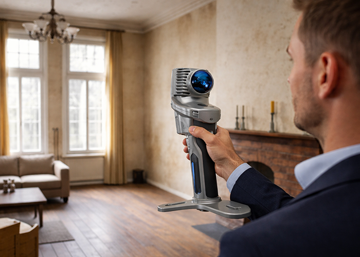
Indoor mapping and its role in modern surveying and construction
Indoor mapping has become a foundational technology for surveying and construction workflows involving existing buildings. By capturing interior environments as scan-based geometry, indoor mapping provides a reliable spatial reference that can be reused across applications such as floor plan generation, renovation and retrofit projects, scan-to-BIM workflows, real estate documentation and facility management.

Partnering with OmniSLAM to deliver project-ready mobile SLAM data
Pythagoras and OmniSLAM collaborate to convert mobile SLAM scans into reliable, project-ready CAD and BIM deliverables using an open platform approach.

A practical guide to point clouds and point cloud processing
Point clouds are the foundation of modern surveying and indoor mapping. This article explains how point clouds are created, processed and validated to achieve accurate, survey-grade results, and why proper processing is essential for reliable measurements, floor plans and professional applications.

Unlock a new workflow: AI that understands spaces and delivers instant floorplans
Discover Pointorama’s AI floorplan generator — a new workflow that turns spatial data into precise floorplans in seconds. No manual tracing, no hardware limits, and full user control.

Smarter floor plan creation with 3D tools and intelligent measurements
Pointorama combines 3D floor plan creation with smart, built-in measurements — offering surveyors and construction professionals a faster, more accurate way to turn scans into actionable floorplans, even in complex spaces.

The fastest way to create accurate floor plans
Our community is growing, and therefore an introduction is in order. Pointorama turns scans into accurate 2D and 3D floor plans within minutes. With centimeter-level precision and seamless export to CAD and BIM, professionals can work faster, smarter and without the hassle of manual cleanup.

Point cloud registration: what it is and why it matters
At GEO Business we talked a lot about smarter workflows, but it all starts with accurate data. And when working with multiple scans, that means registration.
In short: point cloud registration aligns different scans into one coherent 3D dataset — so you can model, measure, and monitor with confidence.