Point cloud registration: what it is and why it matters
At GEO Business we talked a lot about smarter workflows, but it all starts with accurate data. And when working with multiple scans, that means registration. In short: point cloud registration aligns different scans into one coherent 3D dataset - so you can model, measure, and monitor with confidence.
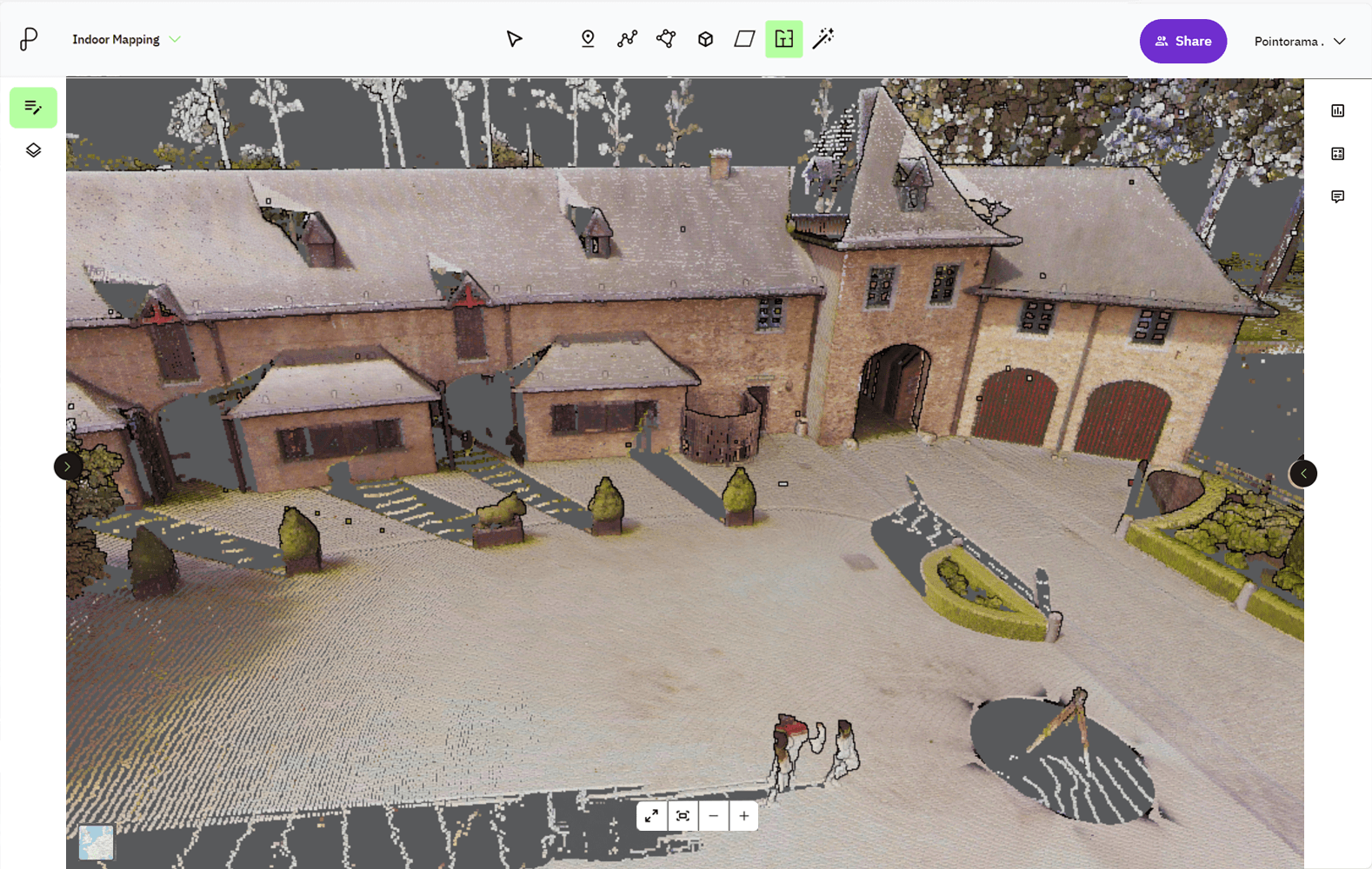
Why is point cloud registration important for surveyors?
Point cloud registration is essential for a variety of applications, particularly in industries that rely on precise spatial measurements. Without proper alignment, point clouds from different scans may not match, leading to errors in 3D modeling, mapping and analysis. Registration enables users to:
- Merge multiple data sets: Scans from different angles or times are combined to form a comprehensive 3D model.
- Map new data to existing models: New measurements can be matched to a reference point cloud to identify changes, estimate object poses or track movements.
This process is particularly valuable in fields like construction project planning, land development and site monitoring, where accurate spatial information is critical.
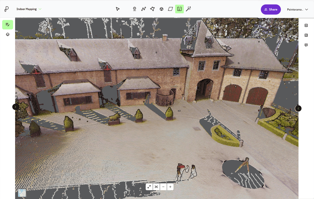
Tools for point cloud registration
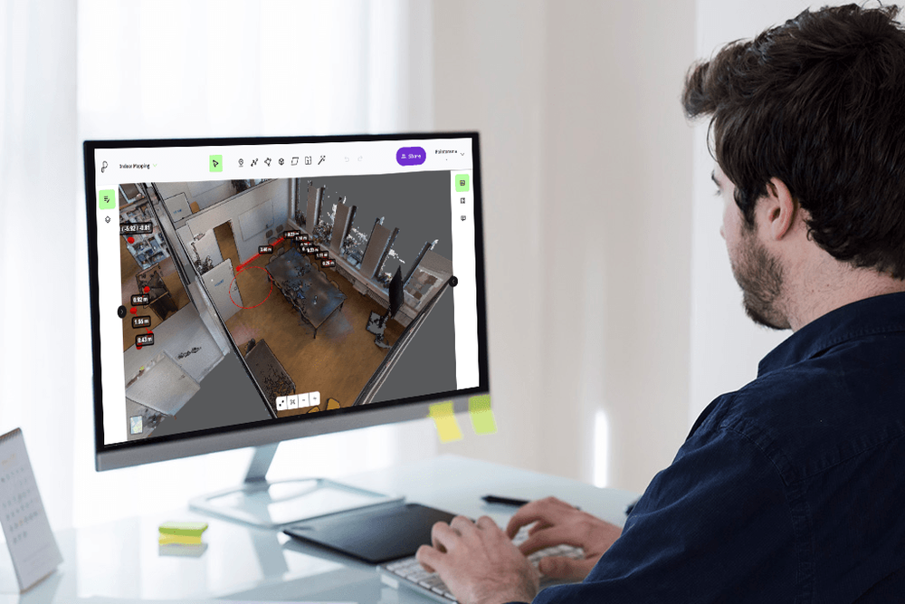
Surveyors utilize advanced registration software to align and process point cloud data with a high degree of precision, a critical step in the generation of accurate 3D models and the facilitation of complex spatial analyses. Prominent software solutions within the industry include Scantra by Technet, Cyclone Register by Leica, Realworks by Trimble, Scene by Faro and RiScan by Riegl.
These platforms incorporate sophisticated algorithms for point cloud alignment, data merging and error minimization, enabling the efficient handling of large and heterogeneous datasets. By ensuring the accurate integration of scans captured from multiple viewpoints and at varying temporal intervals, this software supports the development of detailed topographic models, supports construction verification processes and enhances the reliability of geospatial assessments across diverse applications.
Methods of point cloud registration
There are several methods to register point clouds, each suited to different levels of complexity and types of data.
| Manual registration | Feature-based registration | Iterative closest point (ICP) | |
|---|---|---|---|
| How it works | Users manually select matching points in each point cloud. | Detects and matches distinct features (edges, corners, planes or other key points) in point clouds. | An iterative algorithm aligns two point clouds by minimizing the distance between corresponding points. |
| Use case | Suitable for small datasets or when automated features are insufficient. | Used in automated workflows for faster and more precise alignment. | Works well when two point clouds are already close in alignment. |
| Notes | Time-consuming and subject to human error. | Example: matching natural features like the corners of buildings or landmarks in a scan. | Struggles when point clouds have large misalignments. |
Applications of point cloud registration
Point cloud registration plays a key role in multiple industries. Below are three important applications where point cloud registration makes a significant impact:
- Surveying and construction: By aligning multiple scans, surveyors and contractors can create detailed 3D models of terrain or construction sites. This supports accurate volume calculations, progress tracking and as-built comparisons to ensure construction follows the original design.
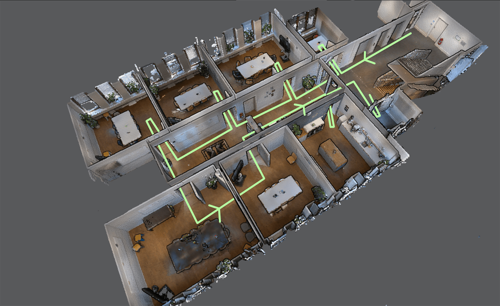
- SLAM (Simultaneous Localization and Mapping): SLAM uses point cloud registration to generate maps while tracking the position of a moving device, such as a mobile scanner or robot. This allows surveyors to efficiently map large areas without fixed reference points.
- 3D reconstruction and motion estimation: Time-based scans are aligned to create dynamic 3D models that capture changes over time. This is essential for tracking construction progress or monitoring shifts in landscapes or structures.

Conclusion
Point cloud registration is fundamental to the creation of accurate 3D models and the effective management of spatial data across a wide range of industries. By aligning point clouds from multiple scans, surveyors and construction professionals can ensure precision in their measurements, facilitating better planning, monitoring, and validation of projects. The combination of advanced registration methods and specialized software enhances the accuracy and efficiency of the process, minimizing errors and maximizing data quality. As technology continues to evolve, point cloud registration will remain a cornerstone of geospatial analysis, driving innovation in fields such as construction, land surveying, and autonomous mapping.
Want to go deeper?
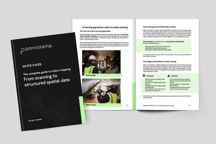
Dive into the fundamentals of indoor mapping and better understand the technology behind the workflow. Download our free white paper and discover how scanning, point clouds and floor plan generation come together.
Related articles

How 3D scanning helped restore Notre Dame after the great fire
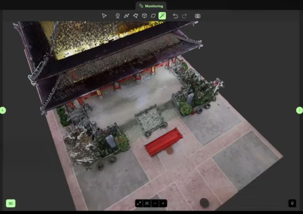
Thanks to pre-existing 3D scans, Notre Dame's restoration after the 2019 fire was remarkably precise. LiDAR technology provided a detailed digital blueprint, preserving architectural integrity and accelerating reconstruction. This case highlights the vital role of 3D scanning in safeguarding cultural heritage.
Partnering with OmniSLAM to deliver project-ready mobile SLAM data
Pythagoras and OmniSLAM collaborate to convert mobile SLAM scans into reliable, project-ready CAD and BIM deliverables using an open platform approach.

The power of SLAM scanners for surveying: a comprehensive guide
SLAM (Simultaneous Localization and Mapping) is revolutionizing 3D mapping for surveyors, enabling fast and accurate results in GPS-deprived environments. This guide covers SLAM fundamentals, workflow optimization, and its advantages over traditional Terrestrial Laser Scanning (TLS). Discover how SLAM technology enhances efficiency, versatility, and accuracy in modern surveying.