LiDAR: How the use of laser pulses can lead to accurate landscape analysis
When I ask you to think about laser pulse technology, you’ll probably envision some big satellite or space station. But what if I tell you that nowadays, you can even find a laser scanner in your Iphone!
In this article we’ll tell you all about LiDAR, and why you probably should be using it.
So what exactly is a Lidar scanner?
Lidar scanners are an advanced surveying tool that uses laser technology to create accurate and detailed 3D maps of the environment. The acronym “LIDAR” stands for Light Detection and Ranging, and this technology works by emitting laser pulses that bounce off surfaces and return to the scanner. These pulses provide precise measurements of distances and locations of objects, which are then used to create a 3D map of the scanned area.
The scanner sends out thousands of laser pulses per second, which are reflected back to the device by surfaces such as buildings, trees, and the ground. The scanner then measures the time it takes for the pulses to return and uses this information to create a 3D map of the scanned area. The result is a highly detailed and accurate representation of the environment, which can be used in various industries such as construction, mining, forestry, and urban planning.
More information on different point cloud capturing techniques can be found here.
What are the main benefits of Lidar?
Precision and Accuracy
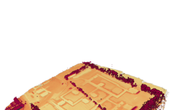
Lidar scanners offer highly accurate and precise distance measurements, which are crucial for creating accurate survey data and maps.
This method typically achieves millimeter to centimeter-level range accuracy. Accuracy can be affected by environmental conditions like fog or rain, but advanced systems are designed to mitigate these effects. Precise calibration and georeferencing are crucial for maintaining accuracy, and sensor quality plays a significant role. Lidar’s accuracy varies depending on the specific application, and post-processing techniques can further enhance data quality.

Speed and Efficiency
Lidar can rapidly capture survey data, significantly reducing the time and effort required for traditional surveying methods.
Airborne Lidar is the fastest for covering large areas, making it ideal for regional mapping and environmental assessments, but may sacrifice some detail. Terrestrial Lidar is slower and more suitable for localized surveys where higher detail is required, such as building interiors or small construction sites. Vehicle-mounted Lidar strikes a balance, offering moderate speed and accuracy for applications like road mapping and urban planning. Static Lidar systems are slower due to their stationary nature but deliver the highest precision and detail, making them valuable for architectural and archaeological documentation.
3D Mapping
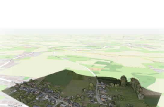
Lidar can produce detailed 3D maps of the surveyed area, providing surveyors with a comprehensive view of the terrain, structures, and objects.
Compared to photogrammetry, 3D mapping techniques like Lidar provide advantages in terms of accuracy and precision in capturing spatial data. While photogrammetry relies on 2D images, 3D mapping directly measures distances in three dimensions, resulting in more detailed and accurate 3D models. Additionally, 3D mapping is less affected by factors like lighting conditions, texture, and occlusions, making it suitable for a wider range of environments and applications.
Long Range
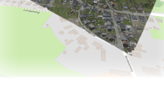
Lidar systems can cover large areas, making them suitable for surveying expansive landscapes and terrains, such as topographic mapping.
They come in various types with different operational ranges. Short-range Lidar is suitable for close-proximity applications, offering ranges up to around 30 meters/yards. Medium-range Lidar extends this to several hundred meters/yards, while long-range Lidar can cover distances from hundreds of meters/yards to several kilometers/miles. Airborne Lidar, used for large-scale mapping, boasts an even greater range, capable of surveying areas spanning several kilometers/miles.

All-Weather Capability
Lidar is not affected by adverse weather conditions like rain or fog, ensuring consistent performance in various weather situations, which is essential for year-round surveying.

Remote Sensing
Lidar can capture data from a safe distance, making it ideal for surveying hazardous or hard-to-reach areas, such as construction sites, mines, or quarries.
In the Amazon rainforest, for instance, researchers utilized Lidar technology to map an otherwise impenetrable and exotic terrain. Aerial Lidar scans from a helicopter pierced through dense vegetation, unveiling the forest floor’s topography and hidden features. This revealed forgotten archaeological sites, concealed waterways, and undiscovered biodiversity hotspots.
In this way, Lidar scans helped to enrich our understanding of the rainforest’s ecological and historical significance. It aids in conservation efforts for this unique and challenging ecosystem.

Automation
Lidar scanners can be mounted on surveying equipment, including drones and mobile mapping platforms, allowing for autonomous data collection and minimizing the need for manual labor.
In the construction industry, for instance, automated drones equipped with high-resolution cameras and Lidar sensors are deployed to regularly survey and monitor construction sites. These drones can follow pre-programmed flight paths or operate autonomously, capturing detailed aerial imagery and 3D data of the site from various angles.
Their ability to capture these high-resolution imagery and 3D data significantly enhances project management, safety, and quality control while reducing costs and improving overall project efficiency.
Data Integration
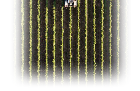
Lidar data can be easily integrated with other surveying equipment and technologies, such as GPS and total stations, to enhance overall survey accuracy and efficiency.
In Pointorama, it will be possible to combine all this data and process it to acquire the high-quality results you need.
Related articles
Need to process your Lidar data? Try Pointorama now for free
Ready to take your productivity to the next level? Sign up for our trial and discover the power of our platform! You’ll have full access to all features, so you can experience the benefits for yourself. Don’t wait – start your trial today and see what you’ve been missing!
Try Now Take the product tour