The power of SLAM scanners for surveying: a comprehensive guide
SLAM (Simultaneous Localization and Mapping) is revolutionizing 3D mapping for surveyors, enabling fast and accurate results in GPS-deprived environments. This guide covers SLAM fundamentals, workflow optimization, and its advantages over traditional Terrestrial Laser Scanning (TLS). Discover how SLAM technology enhances efficiency, versatility, and accuracy in modern surveying.

What is SLAM?
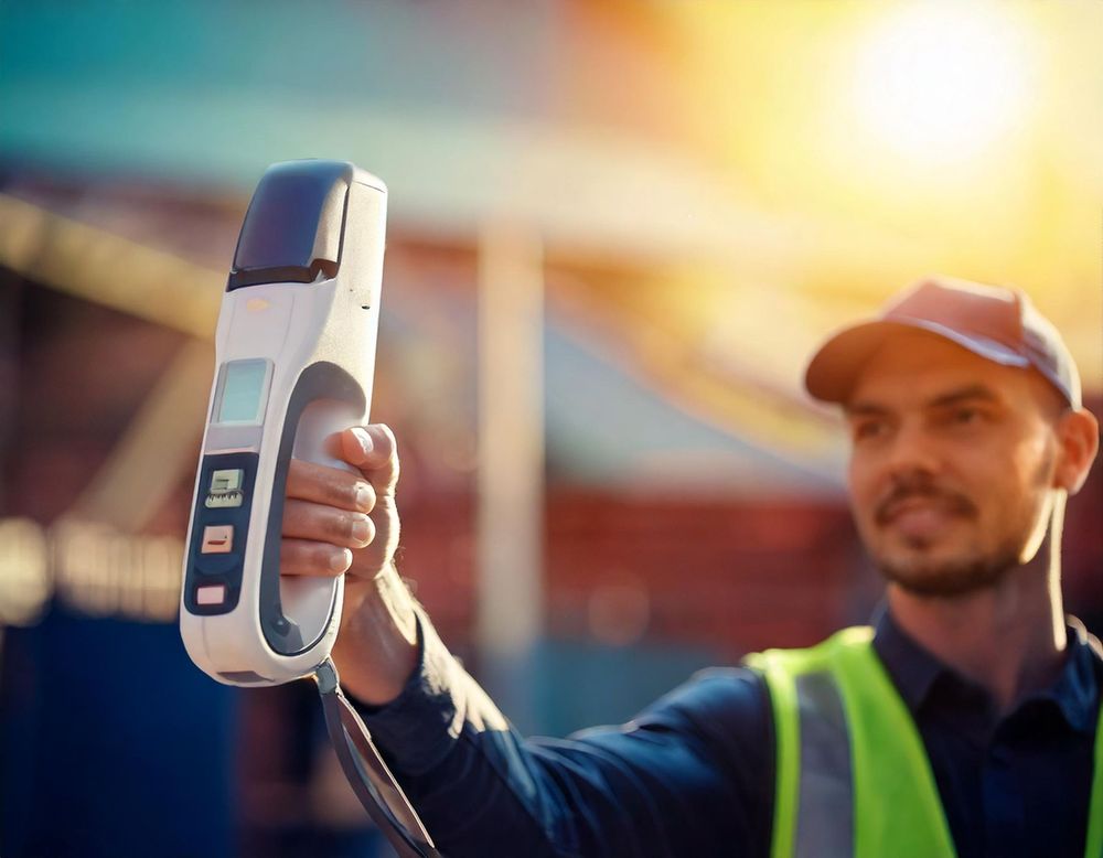
SLAM (Simultaneous Localization and Mapping) is a technology that enables a device to determine its position and orientation while simultaneously mapping its surroundings. Initially developed for robotics, SLAM technology is now integral to mobile 3D scanning, allowing devices to create precise 3D representations of their environment in real time.
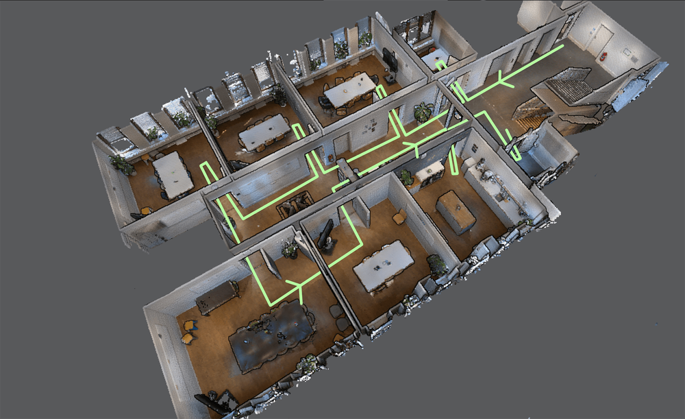
At its core, SLAM fuses data from various onboard sensors such as LiDAR, RGB cameras, and Inertial Measuring Units (IMUs) to track the scanner's movement. As the scanner moves, SLAM algorithms continually update its position relative to the environment, much like a traverse method in traditional surveying. This ongoing process allows the system to generate an accurate, spatially aligned point cloud of the scanned area.

How does SLAM work?
SLAM systems operate using a continuous feedback loop. The process can be broken down into several steps.
- 01
Initialization
As the system starts, the SLAM algorithm processes initial sensor data to establish a reference position.
- 02
Observation and position estimation
As the scanner moves, it collects new data from sensors, compares it to previous observations, and refines its estimated position.
- 03
Data fusion
Data from multiple sensors (LiDAR, IMU, photogrammetry) is combined to track movement and capture environmental features.
- 04
Trajectory calculation
The system calculates a new position based on the previous one, repeating this step continuously.
This process is similar to how surveyors use traverse points, with each new position relying on the accuracy of the previous one. However, in SLAM systems, the process is fully automated and repeated thousands of times per second.
What are the key components of a SLAM system?
These sensors work together to capture the spatial characteristics of an environment. Advanced SLAM systems may also incorporate photogrammetry or additional sensors for greater precision.
- LiDARProvides high-resolution 3D point data.
- IMU (Inertial Measurement Unit)Tracks orientation, velocity, and acceleration.
- RGB camerasEnhances visual context and aids in VSLAM (Visual SLAM).
What is the impact of SLAM on accuracy?
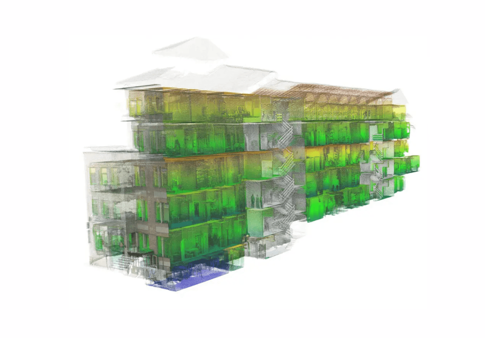
While SLAM offers incredible versatility, its mobile nature introduces unique challenges in accuracy. Unlike a TLS, which captures 3D points from a fixed location, SLAM scanners move as they scan. This movement can cause misalignments in the point cloud, leading to errors like tracking errors and drift.
- Tracking errors: These occur when the system loses track of its position, often in featureless environments like long hallways.
- Drift: Sensor errors accumulate over time, causing the system's position to "drift" away from its true location, reducing point cloud accuracy.
Manufacturers have developed solutions to mitigate these errors, such as:
- Loop closure: By returning to a previously scanned location, the system identifies overlapping points and adjusts for tracking errors and drift.
- Control points: Surveyors place known reference points throughout the environment. The scanner's point cloud is then "snapped" to these control points for precise alignment.

Workflow steps for high-accuracy results
- 01
Plan the scan
Identify key areas and determine if loop closure or control points are necessary.
- 02
Scan with consistency
Move at a steady pace and avoid abrupt changes in speed or direction.
- 03
Use loop closure
Close loops where possible to reduce tracking errors.
- 04
Implement control points
For survey-grade accuracy, capture control points using high-precision tools like total stations.
What are the advantages and limitations?
SLAM technology offers transformative benefits in the realm of data collection, revolutionizing how surveys and mapping are performed. Its speed and efficiency shine when compared to traditional terrestrial laser scanning (TLS), dramatically shortening the time needed to capture data. Moreover, SLAM operates independently of GPS, making it indispensable for environments where GPS signals are absent, such as tunnels or indoor facilities. Its versatility is another standout feature, enabling seamless scanning in both indoor and outdoor settings, and its ability to streamline workflows translates to significant cost savings for projects.
However, SLAM technology does come with limitations that users should consider. Certain environments, like long featureless corridors or areas with highly reflective surfaces, can interfere with tracking accuracy. The technology's performance is also tied to the quality of its sensors and the sophistication of its algorithms, meaning that subpar equipment or outdated software may compromise results. Additionally, in scenarios lacking loop closures or control points, cumulative errors from drift can impact the precision of the final output. Despite these challenges, understanding and mitigating these limitations ensures SLAM remains a powerful tool in the hands of surveyors and mapping professionals.

Types of SLAM-based systems
Both iMMS and MMS use LiDAR technology, but iMMS are designed for indoor use, while MMS are typically vehicle-mounted for mapping large areas like roads or landscapes.
- Indoor Mobile Mapping Systems (iMMS)Portable systems optimized for scanning indoor spaces like buildings and tunnels.
- Mobile Mapping Systems (MMS)Larger systems mounted on vehicles, used for capturing large outdoor areas.
SLAM vs. Terrestrial Laser Scanning (TLS)
| Feature | SLAM | TLS |
|---|---|---|
| Mobility | Mobile, hand-held | Fixed position |
| Speed | Fast data collection | Slower due to setup |
| Accuracy | Varies with drift and tracking | High accuracy, fixed position |
| Versatility | Indoor/outdoor, no GPS required | Requires line of sight |
| Cost | Lower due to faster workflows | Higher due to labor intensity |
| Use case | Ideal for situations where extreme accuracy is not required | Preferred for tasks demanding high accuracy |
Real-world applications of SLAM scanners
SLAM-based mobile mapping systems are used across various industries.
- Surveying and mappingCreate point clouds for land surveys, topography, and infrastructure.
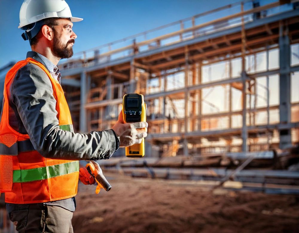
- ConstructionMonitor progress, validate as-built models, and support Building Information Modeling (BIM).
- MiningMap underground tunnels where GPS is unavailable.
- ForestryCollect data on tree density, height, and terrain.
Conclusion
SLAM technology has revolutionized surveying by enabling fast, accurate, and mobile 3D scanning. By understanding its operation, mitigating errors, and following best practices, surveyors can achieve survey-grade accuracy in both simple and complex environments. SLAM's versatility and independence from GPS make it indispensable in indoor mapping.
Whether you're an experienced surveyor or new to the field, leveraging SLAM technology can enable you to work smarter, faster, and more cost-effectively. However, many surveyors prefer Terrestrial Laser Scanning (TLS) for tasks requiring higher precision and stable data capture, as TLS remains more reliable for certain high-accuracy needs.
As mobile mapping systems and SLAM algorithms continue to improve, they will undoubtedly play a central role in the future of surveying and 3D scanning.
Seamless processing and analysis, no matter how your point clouds are captured
No matter how your point clouds are captured—whether with SLAM or static scanners—Pointorama is here to analyze, process, and optimize your data with ease. Elevate your surveying workflows with powerful tools that deliver precision and efficiency.
Want to go deeper?
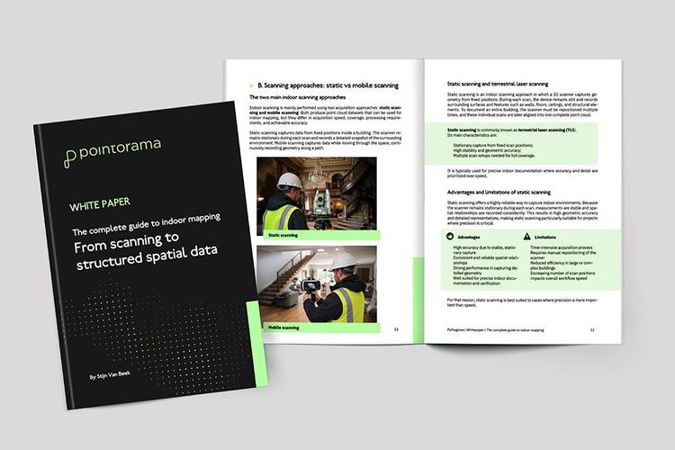
Dive into the fundamentals of indoor mapping and better understand the technology behind the workflow. Download our free white paper and discover how scanning, point clouds and floor plan generation come together.
Related articles
Pointorama's Magic Wand: The smarter way to edit point clouds
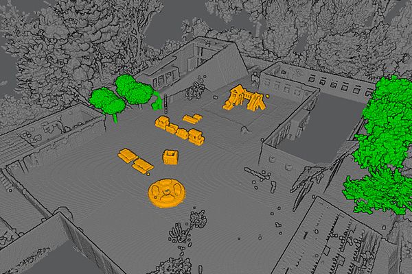
Pointorama's Magic Wand simplifies point cloud editing with AI-driven clustering and an intuitive interface. Save time, enhance precision, and streamline workflows - perfect for professionals and beginners alike.

4 Questions we get asked most about scan-to-floorplan
When we demonstrate Pointorama’s Scan-to-Floorplan technology, people quickly see how a point cloud can be transformed into an accurate floor plan. But once they start thinking about using it in their own projects, the same practical questions often come up.

Scanning for success: A case study in 3D property mapping
From hours to minutes: Smarter 3D property mapping Discover how a real estate team reduced their floorplan workflow from over 3 hours to under 40 minutes using handheld 3D scanning and point cloud processing - without sacrificing accuracy. A case study from our presentation at GEO Business 2025.