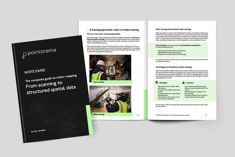
Scanning technologies
TLS, SLAM and other ways to capture indoor spaces
Understand how indoor mapping really works - from 3D scanning to accurate floor plans. A technical white paper for professionals working with buildings, spatial data and reality capture.
Traditional building documentation is often slow, fragmented or unreliable. Manual measurements take time, existing plans are outdated, and multiple site visits create inefficiency.
Indoor mapping changes that completely.
Capture the real geometry of a building once and turn it into a reliable dataset. With Pointorama, you can take it one step further and transform that data into a complete floor plan, ready to use.
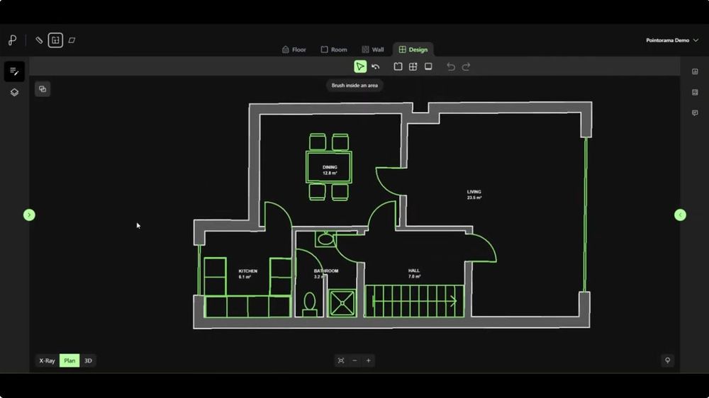
Once captured, the building can be measured, analyzed and turned into a complete floor plan, without returning to site.
From accurate geometry to doors, windows, stairs and furniture, your scan becomes a complete digital representation of the building, ready to use and share.
A complete technical guide covering:
TLS, SLAM and other ways to capture indoor spaces
Turning raw scan data into a workable point cloud
Structuring scans into floors and building levels
Turning measured surfaces into editable rooms
Creating and adjusting accurate building geometry
Detecting and adding openings to complete the structure
Adding stairs, furniture and details to create a finished plan
Taking your result into CAD, BIM and other workflows
No fluff. Just how it actually works.