Navigating the future of surveying
In today’s rapidly evolving landscape, the role of surveyors has undergone significant transformation, thanks to advancements in scanning technologies.
Let’s delve into the shifting dynamics of surveying and explore how Pointorama, along with other innovations, is shaping its future.

The changing role of surveyors
The advent of advanced scanning technologies, including 3D laser or LiDAR scanning, has revolutionized the role of surveyors. Modern surveyors now leverage sophisticated equipment to capture detailed spatial data, resulting in the creation of comprehensive point clouds. Looking ahead, the future of surveying appears promising, with further integration of advanced technologies such as artificial intelligence and cloud storage.
With point cloud platforms such as Pointorama, processing and analyzing these point clouds has become more efficient and accessible than ever before. Pointorama plays a crucial role in this future, offering functions such as seamless integration with cloud storage and leveraging AI-powered algorithms to streamline data processing and analysis, and so much more!

Is a career in surveying still attractive?
Despite technological advancements, the profession of surveying remains attractive, particularly due to the growing demand for accurate spatial data in various industries such as construction, infrastructure development, and urban planning. As the need for precise measurements and comprehensive spatial information continues to rise, surveyors play a crucial role in providing essential data for decision-making and project planning.
Software solutions further enhance the attractiveness of the profession by empowering surveyors with advanced tools and technologies. By streamlining data collection, processing, and analysis, Pointorama enables surveyors to work more efficiently and effectively. With features like point cloud processing, object detection and AI-driven algorithms, surveyors can quickly extract valuable insights from their data, allowing them to make informed decisions and deliver high-quality results to their clients.

Innovations driving progress
All sorts of emerging trends reshaping the landscape of the surveying profession can be discovered, from the adoption of digital and automated processes to the integration of cutting-edge technologies and the rising demand for 3D modeling and visualization. Reveal the latest innovations driving the field of surveying forward, spanning from the utilization of advanced scanning technologies like LiDAR and photogrammetry to the introduction of sophisticated software solutions such as Pointorama.

Harnessing the power of Pointorama
Pointorama seamlessly aligns with these evolving trends, presenting a comprehensive solution equipped with advanced features to address the changing needs of surveying professionals. It emerges as a standout tool amidst these innovations, offering unparalleled capabilities for efficient processing and analysis of point cloud data, ultimately enhancing the efficiency and productivity of surveyors in their work.
Pointorama stands out as a powerful tool for surveyors, offering efficient processing and analysis of point cloud data. Explore how Pointorama streamlines workflows, enhances collaboration, and unlocks valuable insights for surveying professionals.
As the field of surveying continues to evolve, innovations like Pointorama pave the way for more efficient, accurate, and collaborative surveying practices. Embracing these advancements and staying adaptable is key to navigating the future of surveying successfully.
Related articles

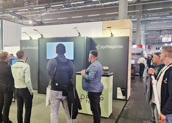
GEO Business 2026 recap: Why our latest Pointorama release turned heads
At GEO Business 2026, Pointorama showcased its latest release, demonstrating how professionals can transform point clouds into accurate floor plans, measurements and deliverables within a single platform. Discover the new features, the industry’s biggest challenges, and how AI-powered automation is helping teams work faster and more efficiently.

Stronger together: how partnerships drive innovation at Pointorama
Partnerships are the driving force behind innovation at Pointorama. By connecting hardware, software and expertise, we transform raw scan data into structured, usable results through seamless workflows.
Pointorama on tour: meet us at key events in 2026
Meet Pointorama at key events in 2026. Discover new features, explore innovations and connect with our team across Europe.In 2026, Pointorama will be present at leading geospatial events across Europe, including GeoBusiness, Intergeo and Trefdag Digitaal Vlaanderen. Discover our latest innovations, explore new workflows and experience how much our technology has evolved when you meet us in person.