Navigating the future: 3 trends in point cloud technology and the role of AI
In the dynamic landscape of technology, point cloud data has emerged as a powerful tool across various industries, from construction and architecture to archaeology and urban planning. As the demand for precise spatial information continues to grow, several trends are shaping the evolution of point cloud technology.
In this article, we’ll explore three key trends and examine how artificial intelligence (AI) is poised to play a pivotal role in their advancement.

Trend 1 || Integration with Building Information Modeling (BIM)
Building Information Modeling (BIM) has revolutionized the construction industry by enabling stakeholders to collaborate on a digital representation of a building’s physical and functional characteristics. One trend in point cloud technology is the integration of point cloud data with BIM systems. By incorporating detailed point cloud information into BIM models, construction professionals gain valuable insights for planning, design, and maintenance tasks. AI algorithms can enhance this integration by automating the process of aligning point cloud data with BIM models, enabling faster and more accurate analyses.

Trend 2 || Real-time data processing
With the proliferation of IoT devices and sensors, the volume of spatial data generated in real-time is increasing exponentially. In response to this trend, point cloud technology is evolving to support real-time data processing capabilities. AI-driven algorithms can analyze incoming point cloud data streams in real-time, identifying patterns, anomalies, and actionable insights instantaneously. This enables stakeholders to make data-driven decisions on the fly, leading to improved efficiency and responsiveness in various applications, such as traffic monitoring, disaster management, and autonomous vehicle navigation.

Trend 3 || Automated object recognition
Traditionally, extracting features from point cloud data has been a labor-intensive and time-consuming task, requiring manual identification and annotation of objects. However, AI-powered algorithms are transforming this process by automating feature extraction from point clouds.
Machine learning models can be trained to recognize and classify objects such as buildings, trees, vehicles, and infrastructure elements within point cloud data with high accuracy and efficiency. This automated feature extraction capability streamlines workflows in applications such as urban planning, forestry management, and asset inventory.
Conclusion
As point cloud technology continues to evolve, the integration of artificial intelligence holds immense promise for unlocking its full potential. By embracing trends such as integration with BIM, real-time data processing and automated object recognition, stakeholders across industries can harness the power of point cloud data to drive innovation, enhance efficiency, and make informed decisions in an increasingly complex and interconnected world.
Related articles

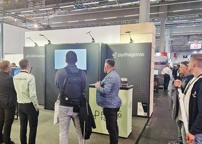
GEO Business 2026 recap: Why our latest Pointorama release turned heads
At GEO Business 2026, Pointorama showcased its latest release, demonstrating how professionals can transform point clouds into accurate floor plans, measurements and deliverables within a single platform. Discover the new features, the industry’s biggest challenges, and how AI-powered automation is helping teams work faster and more efficiently.

Stronger together: how partnerships drive innovation at Pointorama
Partnerships are the driving force behind innovation at Pointorama. By connecting hardware, software and expertise, we transform raw scan data into structured, usable results through seamless workflows.
Pointorama on tour: meet us at key events in 2026
Meet Pointorama at key events in 2026. Discover new features, explore innovations and connect with our team across Europe.In 2026, Pointorama will be present at leading geospatial events across Europe, including GeoBusiness, Intergeo and Trefdag Digitaal Vlaanderen. Discover our latest innovations, explore new workflows and experience how much our technology has evolved when you meet us in person.