Understanding point clouds and its conversion methods
point clouds play a pivotal role in capturing and representing real-world environments with unparalleled accuracy. What exactly is a point cloud, and how can it be converted into usable formats for various applications?
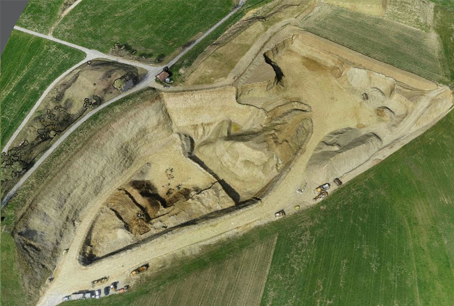
What is a 'point cloud'?
A point cloud is a collection of data points in a three-dimensional coordinate system, representing the surfaces of objects or environments captured by 3D scanning technologies such as LiDAR (Light Detection and Ranging) or photogrammetry. Each point in a point cloud corresponds to a precise location in space and may also contain additional information such as color, intensity, or reflectance.
Point clouds are used across a wide range of industries, including architecture, engineering, construction, urban planning, archaeology, and environmental monitoring. They serve as a digital record of the physical world, enabling accurate measurements, visualization, analysis, and simulation of real-world environments.
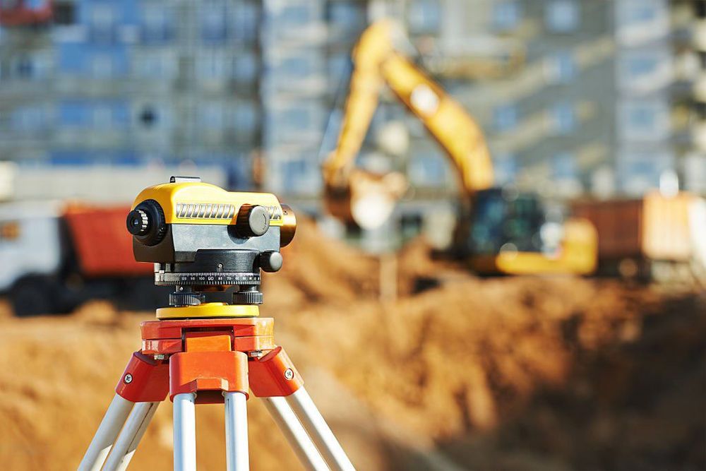
Converting 'point clouds'
While point clouds are invaluable for capturing detailed spatial information, they often need to be converted into usable formats for specific applications. Here are several common conversion methods.
From raw points to usable formats
- Mesh GenerationCreates a mesh from point clouds, defining the object's surface for use in graphics, VR, and 3D printing.
- Surface ReconstructionRebuilds the object's surface from point cloud data, using techniques ranging from basic to advanced.
- CAD Model CreationConverts point clouds into precise CAD models for engineering and design, enabling modifications and simulations.
The power of point clouds
In conclusion, point clouds are a powerful tool for capturing and representing real-world environments with high fidelity. By converting point clouds into usable formats using methods such as mesh generation, surface reconstruction, CAD model creation, and volume rendering, stakeholders across industries can unlock the full potential of point cloud data for visualization, analysis, and simulation purposes. As technology continues to advance, the conversion of point clouds will play an increasingly important role in harnessing the rich spatial information they provide.
Ready to unlock the full potential of your 3D data?
Dive deeper into the world of point clouds and discover the best conversion methods to transform raw data into powerful tools for your industry. Explore now and take your 3D modeling and spatial analysis to the next level!
Want to go deeper?
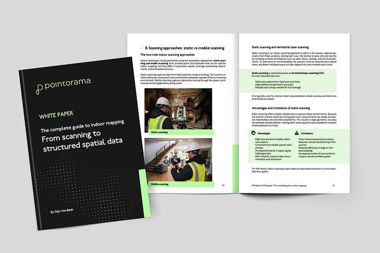
Dive into the fundamentals of indoor mapping and better understand the technology behind the workflow. Download our free white paper and discover how scanning, point clouds and floor plan generation come together.
Related articles

Scanning is getting faster. Now the workflow needs to catch up.
SLAM scanning is faster and more accessible than ever, but what happens after the scan? At INTERGEO 2026, one challenge came up again and again: the bottleneck is shifting from capturing data to processing it. We look at why the next efficiency gain in reality capture lies in the journey from scan to deliverable.
GEO Business 2026 recap: Why our latest Pointorama release turned heads
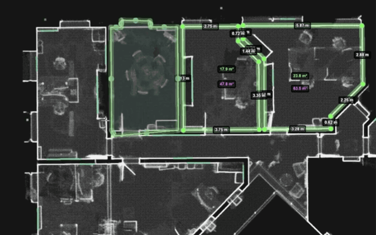
At GEO Business 2026, Pointorama showcased its latest release, demonstrating how professionals can transform point clouds into accurate floor plans, measurements and deliverables within a single platform. Discover the new features, the industry's biggest challenges, and how AI-powered automation is helping teams work faster and more efficiently.
INTERGEO 2026: Meet Pointorama in Munich
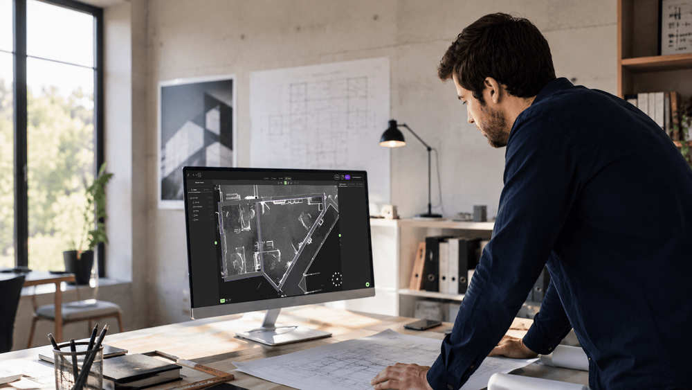
Meet Pointorama at INTERGEO 2026 in Munich. Discover our latest Scan-to-Floorplan innovations, see live demos and claim your free visitor voucher.