Stronger together: how partnerships drive innovation at Pointorama
Partnerships are the driving force behind innovation at Pointorama. By connecting hardware, software and expertise, we transform raw scan data into structured, usable results through seamless workflows.
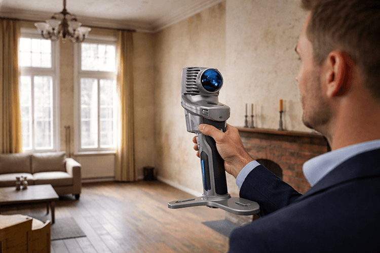
No single tool can do everything
In today's geospatial landscape, no single tool can do everything. Professionals rely on a combination of hardware, software and platforms to complete their workflows.
That is where partnerships make the difference.
By integrating Pointorama into existing ecosystems, we ensure that users can move seamlessly from data capture to processing and final deliverables. No unnecessary steps. No fragmented workflows. Just one connected experience.

From scan to structured data
Our partnerships focus on one clear goal: transforming raw spatial data into usable, structured output. Here are some of the partners we work with and how we collaborate.
NavVis
Integration with the NavVis Ivion platform allows users to import scan projects directly into Pointorama and turn them into measurements and 2D or 3D floor plans.
MadVoxel
Through the Mavo 3D app on iOS, users can scan spaces with an iPhone or iPad and send the data to Pointorama in one tap for further processing into structured outputs.
OmniSLAM
By combining OmniSLAM's mobile scanning hardware with Pointorama, we transform SLAM data into reliable, project-ready deliverables for professional workflows.
GeoDirect
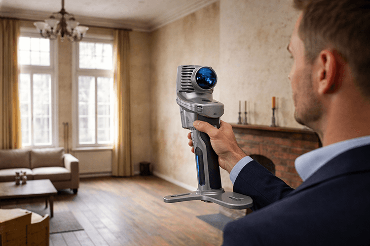
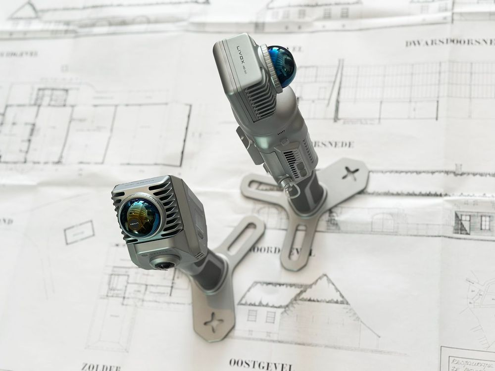
Together with GeoDirect, reseller of Stonex SLAM solutions, we offer a complete workflow from mobile scanning to structured spatial data and mapping outputs.
These partnerships ensure that point cloud data does not remain raw or purely visual, but becomes actionable and ready for real-world use.
The benefits for our partners
For companies building geospatial or reality capture solutions, partnerships with Pointorama open up new opportunities.
They can extend their existing platforms with powerful indoor mapping capabilities, without the need for complex internal development. Our technology integrates flexibly through APIs, embedded modules or standalone solutions.
This allows partners to adapt Pointorama to their own ecosystem while accelerating their go-to-market and reducing development effort.
The benefits for end users
Ultimately, partnerships are about creating better experiences for users.
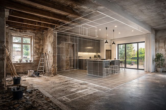
By connecting technologies, we reduce friction in daily workflows. Data flows more easily between tools. Processes become faster. Results become more reliable.
- Streamlined workflows from capture to output
- Better interoperability between tools
- Faster project delivery
- Consistent and high-quality results
Strong partnerships do not just connect technologies. They connect expertise, ideas and ambition.
We believe the best solutions are built together
That is why we continue to expand our partner ecosystem and collaborate with companies that share our vision on accuracy, efficiency and innovation in spatial data.
Are you building hardware, software or workflows in the geospatial space? Then let's explore how we can work together.
Related articles
The fastest way to create accurate floor plans
Our community is growing, and therefore an introduction is in order. Pointorama turns scans into accurate 2D and 3D floor plans within minutes. With centimeter-level precision and seamless export to CAD and BIM, professionals can work faster, smarter and without the hassle of manual cleanup.
Transforming real estate with 3D scanning
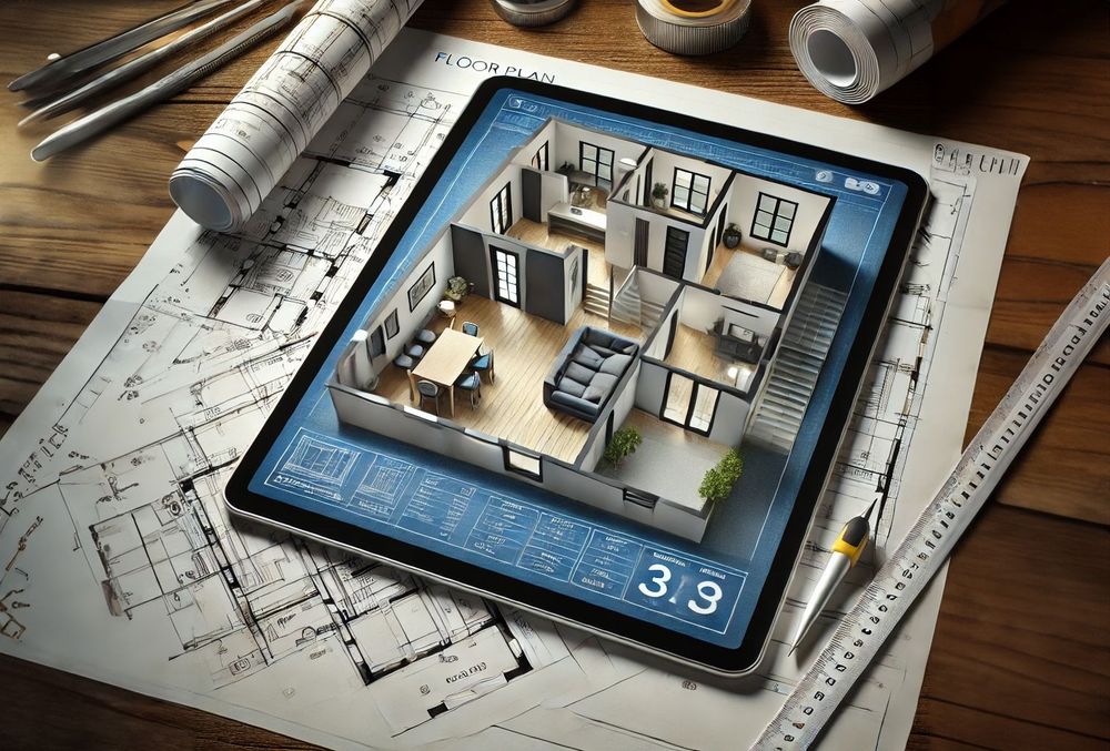
3D scanning is revolutionizing real estate by providing fast, accurate property measurements and detailed floor plans. With SLAM technology, professionals can quickly map properties and eliminate outdated blueprints. Tools like Pointorama turn raw scans into actionable insights, improving efficiency and decision-making.
Choosing between static and kinematic scanning: finding the right fit
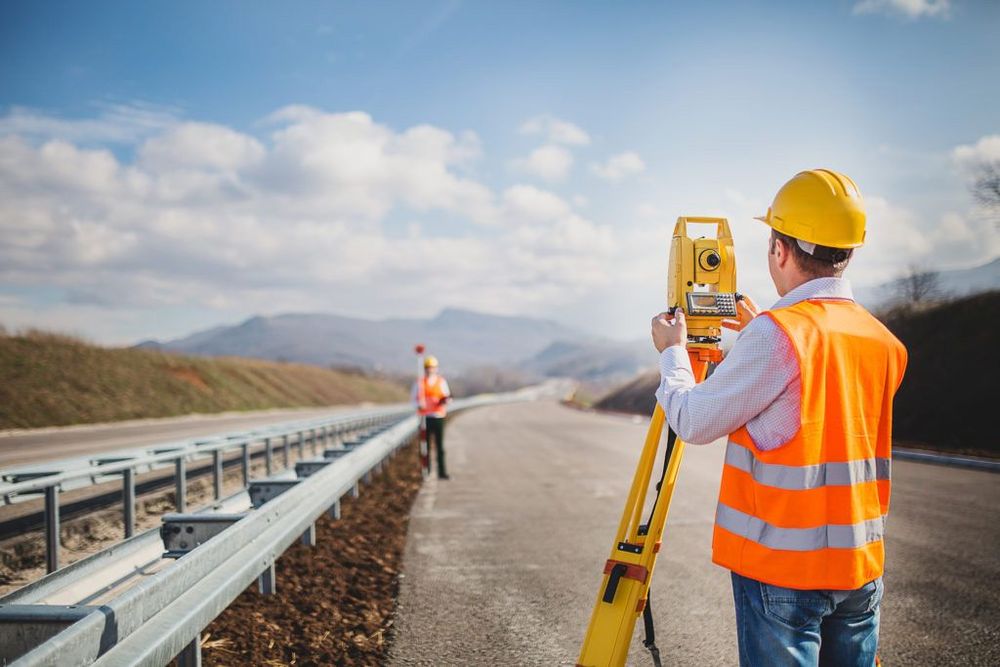
Looking for precision or speed? Static scanning captures ultra-detailed data from fixed points, perfect for architecture and engineering. Kinematic scanning maps large areas quickly, ideal for roads and urban planning. Each has its strengths - discover which one suits your project best!