Scanning for success: A case study in 3D property mapping
From hours to minutes: Smarter 3D property mapping Discover how a real estate team reduced their floorplan workflow from over 3 hours to under 40 minutes using handheld 3D scanning and point cloud processing - without sacrificing accuracy. A case study from our presentation at GEO Business 2025.
Introduction: When measuring becomes a bottleneck
In the property sector, the humble floor plan continues to play a vital role—from real estate brochures to architectural designs and renovation permits. But while buildings evolve, our methods to capture their layout often lag behind. For many professionals, property mapping still starts with a distometer and a sketchpad. That may sound charming, but in a competitive industry where time equals money, manual workflows create friction—and risk.
At GEO Business 2025, we shared a case study that grew out of one simple but urgent question:
"How can we speed up property mapping without compromising accuracy?"
In this blog, I'd like to revisit that question—sharing what we discovered by rethinking a traditional process through the lens of modern digital tools. The impact went beyond technology; it fundamentally changed how a small real estate team approached space, data and time.
A workflow under pressure
Our client in real estate regularly documents properties ranging from old farmhouses to modern commercial units. Their typical workflow looked like this:
- On-site hand measurement, using basic tools
- Manual sketching on paper
- Inputting that sketch into a floorplan tool
- Final adjustments, relying on expertise in standards like NEN 2580
Each step carried risks: missed measurements, distorted proportions, or inconsistencies between site and drawing. Mapping a single property could easily take over three hours, not to mention the added stress of handling multiple sites per day.
But time wasn't the only constraint. Finding people who could both measure accurately and understand the technical output was becoming harder. This workflow relied on a single profile—someone skilled in both fieldwork and CAD interpretation. That dependency had become a bottleneck in itself.

Bringing in 3D scanning
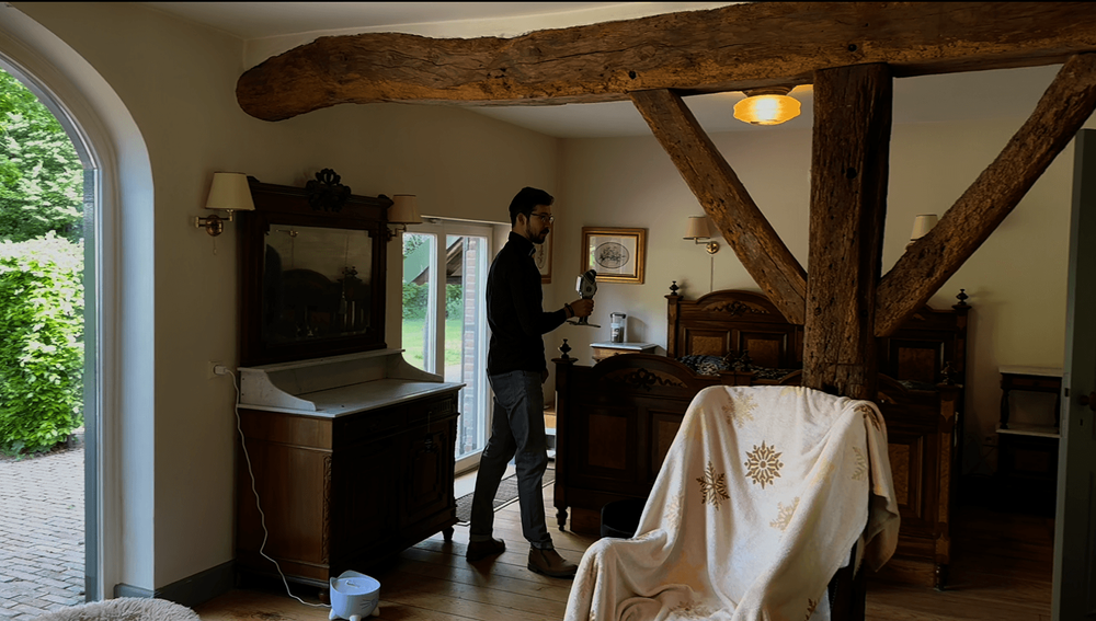
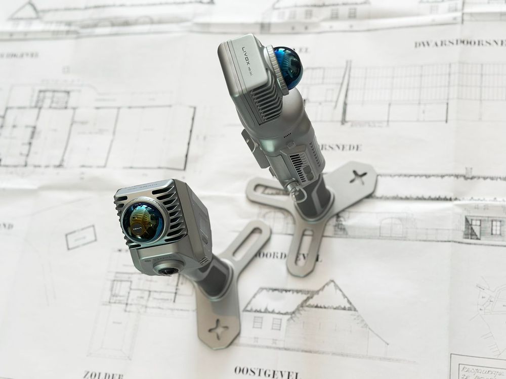
We proposed a simple intervention: replace the manual measurement step with a handheld 3D scanner. One scan, done in just eight minutes, captured the entire property, generating a centimeter-accurate point cloud—a digital snapshot of the space.
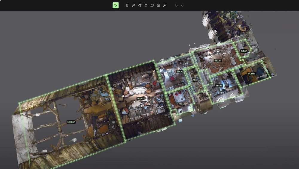
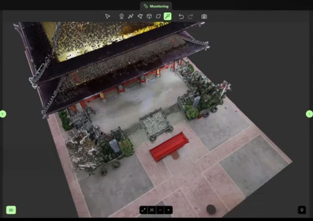
While point clouds are rich in spatial detail, they only become truly useful when paired with software designed to interpret and structure them. With the right tools and a streamlined workflow, even complex interiors can be translated into clear, usable data—accessible not just to technical users, but also to professionals in real estate or architecture.
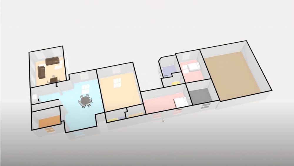
Using that digital foundation, we processed the scan and extracted the line work to produce a floorplan. Thanks to built-in logic for interpreting geometry and support for local standards such as NEN 2580, we were able to deliver a complete plan in under 15 minutes.
From scan to floorplan
From hours to minutes: the real impact
| Step | Traditional | RecommendedNew (Scanning) |
|---|---|---|
| On-site work | 140 minutes | 8 minutes |
| Processing | — | 10 minutes |
| Floorplan design | 60 minutes | 20 minutes |
More than time saved
The result is not just time saved. It's a smoother experience, fewer opportunities for human error, and data that can be reused or exported for other workflows. One operator can do more in one day—without burning out.
And perhaps most importantly: the quality goes up. More complete input leads to better decisions, clearer documentation, and less back-and-forth.
Simplicity is the real innovation
We went into this project expecting a technological shift. What we found was something deeper: the value of a well-designed, scalable workflow. Two key takeaways stood out:
- Scanning isn't just faster—it's smarterYou capture everything, even details you didn't think you'd need. That flexibility matters when new requirements pop up after the site visit.
- The workflow becomes scalableOnce a method proves itself across different building types, you can train and hire more people, standardize output, and build a more predictable business model.
Powerful tools, accessible to everyone
None of this would work without focusing on ease of use. Tools like point cloud processors or floorplan designers must be accessible to real estate professionals, not just to GIS experts or CAD technicians. That's the real frontier in our sector: bringing powerful tools into the hands of people who don't have time for a learning curve.
Looking ahead: What's next for indoor mapping?
The most significant takeaway from this case wasn't just the shift in technology—it was the gain in time. By integrating scanners and efficient point cloud processing software into the workflow, we reduced on-site work and floorplan production from hours to minutes. That kind of acceleration doesn't just improve productivity; it opens the door to working at scale.
This case proved that even small teams can benefit from these tools. With a compact setup, a clear process, and the right software, what once felt like a high-effort task becomes fast, repeatable, and reliable. If the geospatial sector wants to work smarter, this is the direction: digitally-enabled workflows that prioritize speed, accuracy, and above all, efficiency.
How does your workflow compare?
Are you still measuring properties the long way—or have you already made the shift to faster, smarter methods? If this story sounds familiar, or if you're curious how 3D scanning and point cloud processing could fit into your process, let's talk.
Related articles
The fastest way to create accurate floor plans
Our community is growing, and therefore an introduction is in order. Pointorama turns scans into accurate 2D and 3D floor plans within minutes. With centimeter-level precision and seamless export to CAD and BIM, professionals can work faster, smarter and without the hassle of manual cleanup.
Partnering with OmniSLAM to deliver project-ready mobile SLAM data
Pythagoras and OmniSLAM collaborate to convert mobile SLAM scans into reliable, project-ready CAD and BIM deliverables using an open platform approach.

Scanning is getting faster. Now the workflow needs to catch up.
SLAM scanning is faster and more accessible than ever, but what happens after the scan? At INTERGEO 2026, one challenge came up again and again: the bottleneck is shifting from capturing data to processing it. We look at why the next efficiency gain in reality capture lies in the journey from scan to deliverable.