Photogrammetry vs. LiDAR for aerial surveying: a comprehensive comparison
Photogrammetry and LiDAR are two leading technologies in aerial surveying - each with distinct advantages. This article breaks down how they work, where they shine, and which one best fits your project's goals, environment, and budget.
What is photogrammetry?
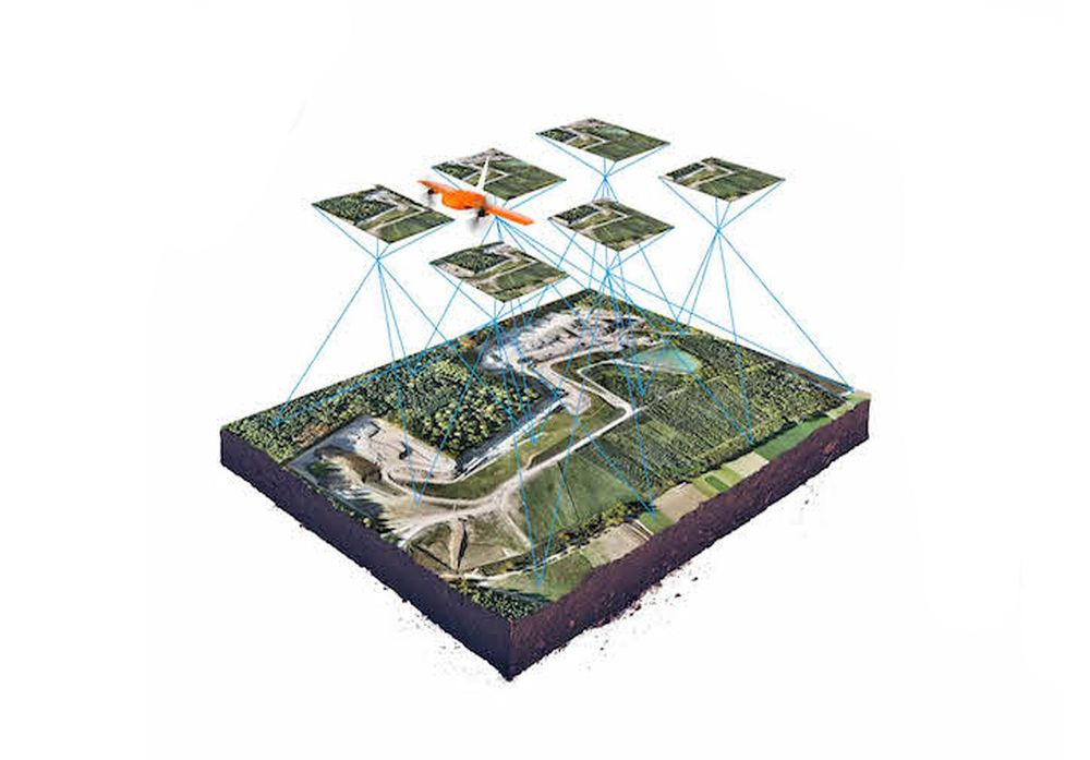
Photogrammetry is a technique that uses overlapping 2D images to reconstruct 3D models. The process involves:
- Capturing images from drones or aircraft using high-resolution cameras.
- Applying triangulation algorithms to create 3D models.
- Stitching images together using specialized software to generate accurate maps.
Equipment & software
- Hardware: Drones or aircraft equipped with RGB or multispectral cameras.
- Software: CAD tools, BIM tools, cloud-based tools
Common applications
- Construction site monitoring
- Real estate and urban mapping
- Terrain monitoring
- Agriculture and crop analysis
- Disaster response and damage assessment
What is LiDAR?
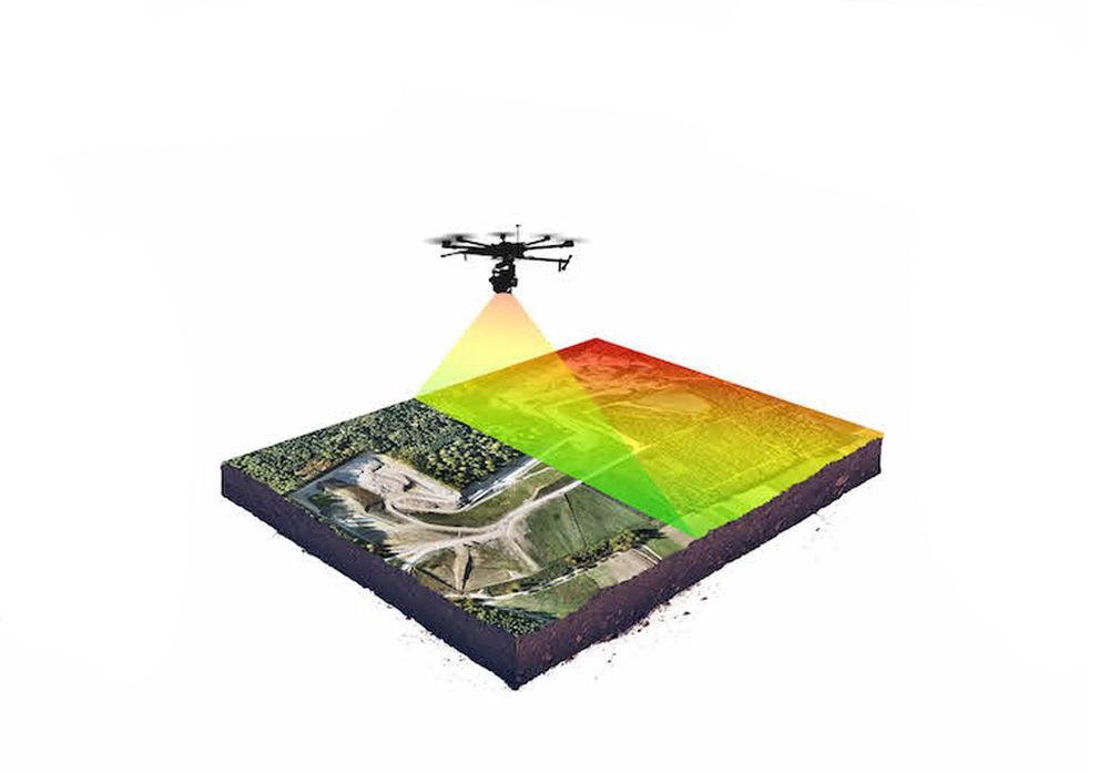
LiDAR (Light Detection and Ranging) is an active remote sensing technology that emits laser pulses to measure distances and generate highly accurate 3D point clouds. Unlike photogrammetry, which relies on visible light, LiDAR can penetrate vegetation and function in low-light conditions.
Equipment & software
- Hardware: LiDAR sensors mounted on drones, aircraft, or terrestrial vehicles.
- Software: CAD tools, BIM tools, cloud-based tools
Common applications
- Forestry and vegetation analysis
- Infrastructure inspection (power lines, roads, bridges)
- Flood modeling and topographic mapping
Comparison: pros and cons
| Feature | Photogrammetry | RecommendedLiDAR |
|---|---|---|
| Accuracy | Lower (depends on lighting & textures) | Higher (independent of light conditions) |
| Cost | More affordable (uses cameras) | Expensive (specialized sensors) |
| Data density | Less dense, depends on image quality | High-density point clouds |
| Processing time | Longer, requires image stitching | Faster, direct point cloud generation |
| Performance in vegetation | Poor (struggles with dense foliage) | Excellent (penetrates vegetation) |
| Equipment size | Lighter (uses standard drones) | Heavier (requires LiDAR sensors) |
Pricing considerations
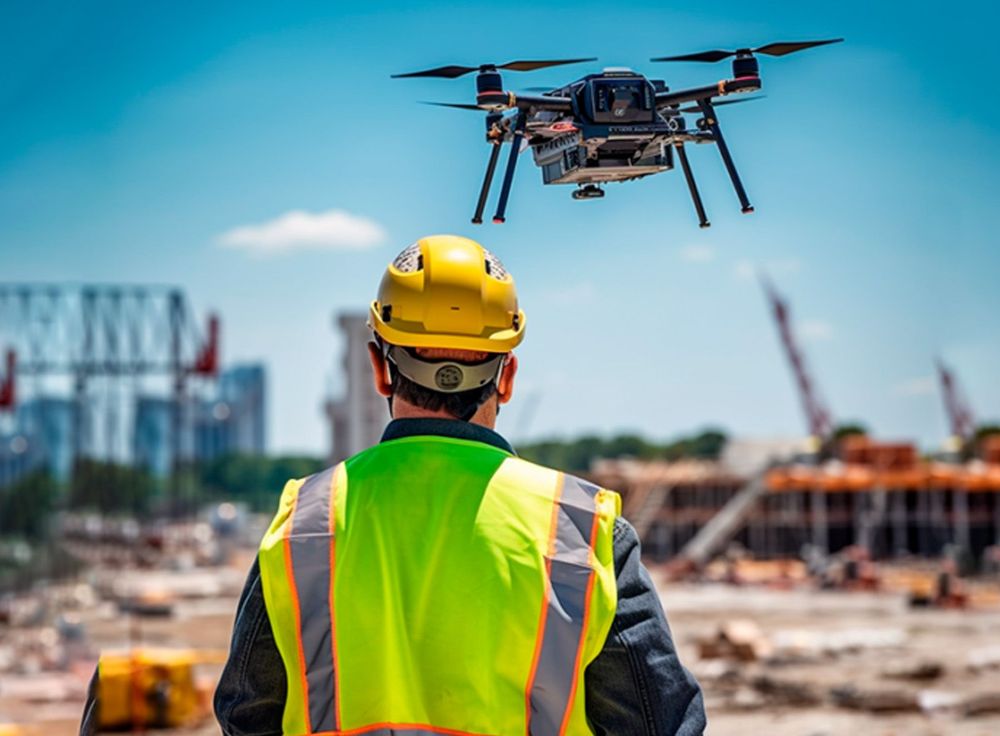
Photogrammetry requires a lower initial investment, with costs primarily associated with drone hardware and software processing. This makes it an ideal choice for budget-conscious projects that still require detailed spatial data.
In contrast, LiDAR technology comes with a significantly higher upfront cost, ranging from €10,000 to well over €100,000 due to the expense of the sensors. However, LiDAR offers superior precision and efficiency, making it the preferred option for large-scale projects where accuracy and data density are critical.
Choosing the right technology
Choosing between Photogrammetry and LiDAR depends on your project’s needs, budget, and environmental conditions.
Photogrammetry is the better option if you need high-resolution color imagery and a cost-effective mapping solution. It works best in areas with clear visibility and minimal vegetation, where detailed surface textures are important. If your budget is limited and you can accommodate longer processing times, photogrammetry offers a practical and affordable approach.
LiDAR, on the other hand, is the preferred choice for projects that require high accuracy and detail, especially in environments with dense vegetation where photogrammetry struggles. It is ideal for topographic mapping, forestry assessments, and infrastructure scanning, providing precise elevation data even through tree canopies. If your project demands faster processing times and you have the budget for advanced equipment, LiDAR delivers superior results.
Conclusion
Both photogrammetry and LiDAR offer powerful solutions for aerial surveying, each excelling in different scenarios. While photogrammetry is more affordable and sufficient for general 3D modeling, LiDAR provides unmatched precision, especially in complex terrains. For many projects, a hybrid approach combining both technologies can offer the best results.
As technology evolves, we are likely to see more accessible and integrated solutions that merge photogrammetry and LiDAR for even greater accuracy and efficiency in aerial mapping.
Need help choosing the right surveying method for your project? Contact us today for expert guidance! Get guidance · Read the product features
Want to go deeper?
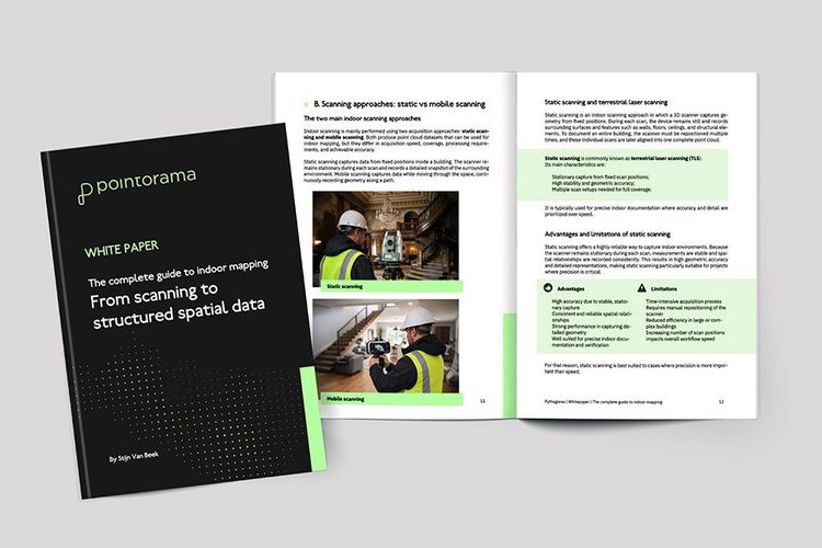
Dive into the fundamentals of indoor mapping and better understand the technology behind the workflow. Download our free white paper and discover how scanning, point clouds and floor plan generation come together.
Related articles
Point cloud registration: what it is and why it matters
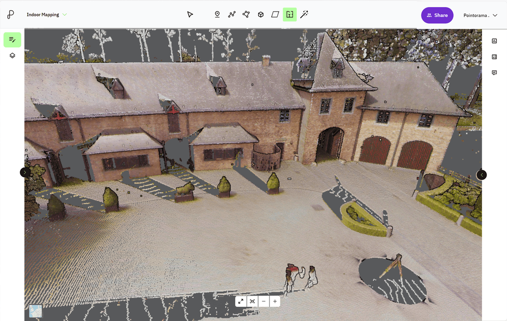
At GEO Business we talked a lot about smarter workflows, but it all starts with accurate data. And when working with multiple scans, that means registration. In short: point cloud registration aligns different scans into one coherent 3D dataset - so you can model, measure, and monitor with confidence.
The fastest way to create accurate floor plans
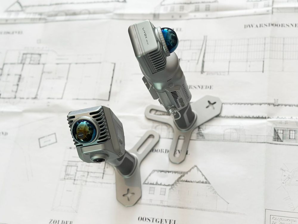
Our community is growing, and therefore an introduction is in order. Pointorama turns scans into accurate 2D and 3D floor plans within minutes. With centimeter-level precision and seamless export to CAD and BIM, professionals can work faster, smarter and without the hassle of manual cleanup.
Pointorama's Magic Wand: The smarter way to edit point clouds
Pointorama's Magic Wand simplifies point cloud editing with AI-driven clustering and an intuitive interface. Save time, enhance precision, and streamline workflows - perfect for professionals and beginners alike.