GEO Business 2026 recap: Why our latest Pointorama release turned heads
At GEO Business 2026, Pointorama showcased its latest release, demonstrating how professionals can transform point clouds into accurate floor plans, measurements and deliverables within a single platform. Discover the new features, the industry's biggest challenges, and how AI-powered automation is helping teams work faster and more efficiently.
The same challenges kept coming back
Throughout the exhibition, we heard the same frustrations from professionals working with point clouds and floor plans:
- Hours spent manually tracing point clouds into floor plans.
- Inaccurate drawings returned by external drafting services.
- Software tools that looked promising but lacked the export options required for real projects.
- Workflows spread across multiple platforms, causing unnecessary complexity and inefficiency.
For many visitors, these weren't isolated issues. They were daily obstacles affecting productivity, project timelines and profitability.
That's why the conversations at our booth were so interesting. Every challenge visitors described reinforced the value of a workflow that is faster, more accurate and fully integrated.
The video that started the conversation
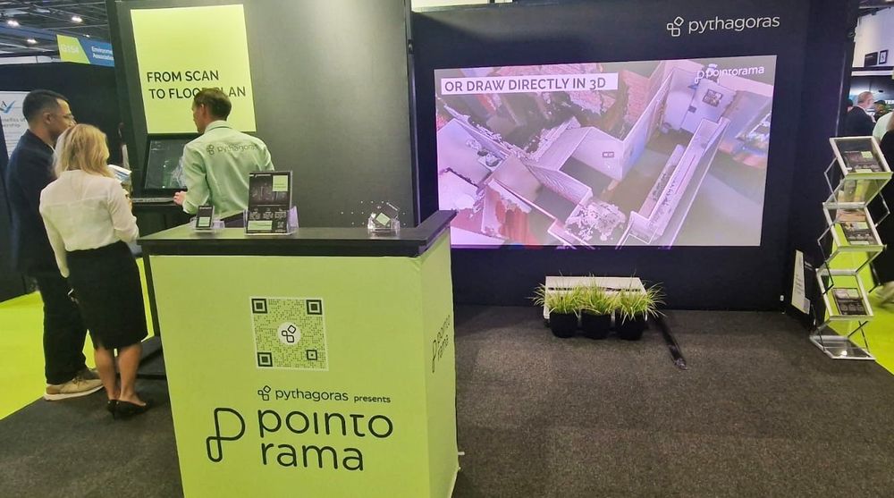
One of the highlights of GEO Business 2026 was the feature showcase video we presented throughout the event. Many visitors stopped to watch and stayed to ask detailed questions about their own workflows, projects and requirements.
The video demonstrated how Pointorama has evolved far beyond floor plan creation and now enables users to digitalize their entire workflow within a single platform. From the moment a point cloud is uploaded, users can start extracting valuable information in just a few clicks.
See the newest release in action
Pointorama 2026 — newest release with new features.
More than just floor plans
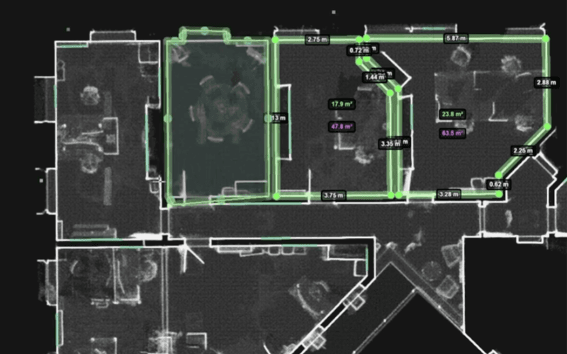
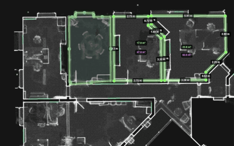
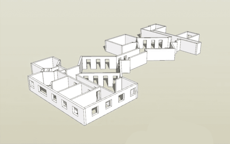
With the latest release, Pointorama enables users to capture everything from areas and heights to doors, windows, entire multi-floor buildings, and countless other measurements – all within a single workflow.
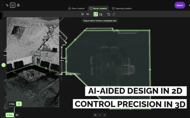
Whether the goal is speed or precision, users can choose the workflow that best fits their project. Measurements can be generated automatically using AI, while manual editing tools remain available whenever additional control is required.
AI where it matters
Artificial Intelligence is rapidly becoming part of many reality capture workflows, and it was one of the most discussed topics during GEO Business 2026.
That's exactly why Pointorama combines powerful automation with user control.
After the AI has completed its analysis, users can instantly review, validate and optimize the results. This ensures that even the most complex projects can be processed efficiently while maintaining the level of accuracy professionals expect.
This combination of AI-driven automation and human expertise received a particularly positive response from visitors looking to streamline their workflows without sacrificing quality.
One environment, less friction
One of the most common reactions we received after showing the video was that Pointorama simplifies a workflow that is often fragmented across multiple tools. Rather than moving data between different applications, users can manage the complete scan-to-floor-plan workflow within a single environment. This reduces:
- Manual work
- Repetitive tasks
- Data loss between platforms
- Time spent correcting errors
Ultimately, it allows professionals to focus on delivering results instead of managing software limitations.
The best feedback came after the questions
The most valuable part of GEO Business wasn't simply presenting our latest features… It was listening.
As visitors explored the platform and asked increasingly detailed questions, discussions quickly moved from product demonstrations to real-world use cases and project requirements. Many questions already had solutions within Pointorama. Others generated new ideas.
The feedback we received has already influenced our development roadmap, and several suggestions are currently being evaluated for future releases.
What's next?
We're extremely proud of what Pointorama delivers today. The response at GEO Business 2026 confirmed that organizations are actively looking for better ways to transform point clouds into accurate, usable deliverables without spending countless hours on manual work.
Our latest release is a major step forward, but we're far from finished. The ideas, challenges and feature requests we gathered in London will help shape the next evolution of Pointorama.
If GEO Business taught us anything, it's that the industry is ready for a smarter, faster, and more connected scan-to-floor-plan workflow. And we're excited to keep building it.
Stay tuned. The best is yet to come.
The feedback we received at GEO Business 2026 confirms that the industry is ready for a smarter, faster, and more connected way of working with point clouds.
Related articles
Indoor mapping and its role in modern surveying and construction
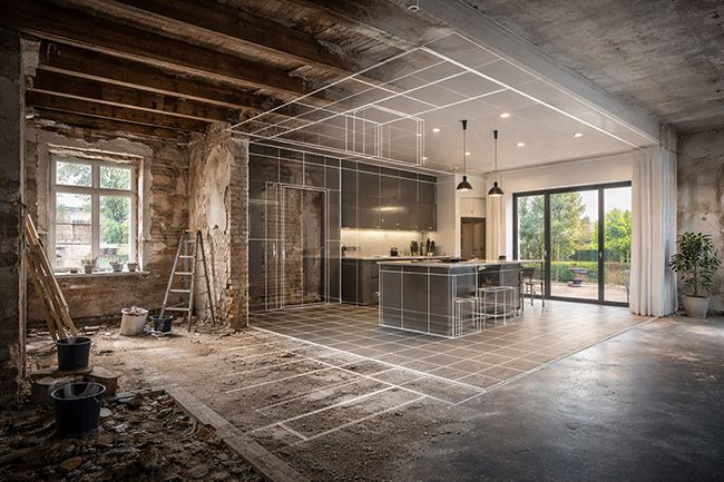
Indoor mapping has become a foundational technology for surveying and construction workflows involving existing buildings. By capturing interior environments as scan-based geometry, indoor mapping provides a reliable spatial reference that can be reused across applications such as floor plan generation, renovation and retrofit projects, scan-to-BIM workflows, real estate documentation and facility management.
Exploring surveying efficiency with 3D laser scanning
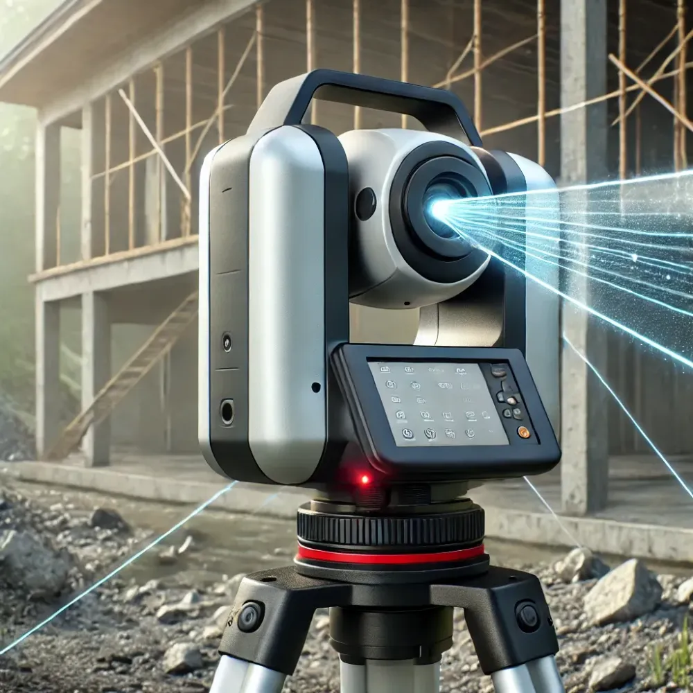
3D laser scanning revolutionizes surveying with speed and precision, but managing point clouds can be a challenge. Discover how Pointorama streamlines processing for maximum efficiency! 🚀 Read more!
INTERGEO 2026: Meet Pointorama in Munich
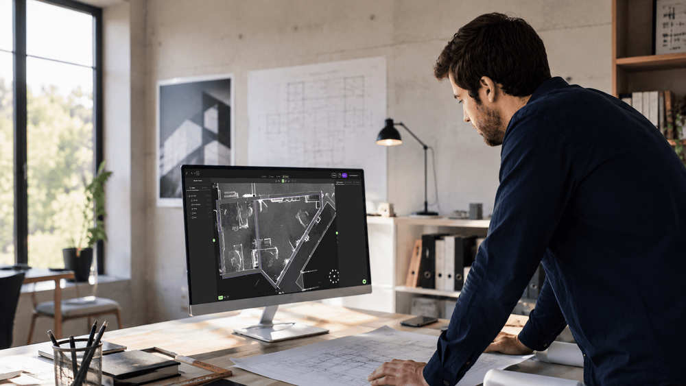
Meet Pointorama at INTERGEO 2026 in Munich. Discover our latest Scan-to-Floorplan innovations, see live demos and claim your free visitor voucher.