Where to find us in 2025: Key geospatial trade shows you can't miss
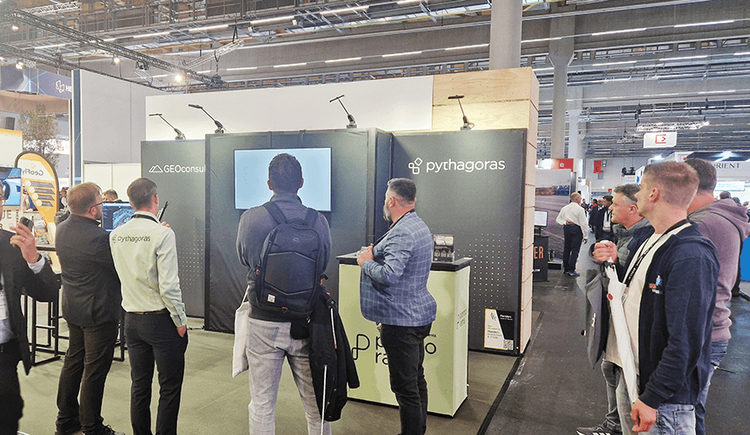
Join us at GEO Business and INTERGEO 2025 to explore the latest in point cloud processing with Pointorama and Pythagoras. Discover new features, seamless integration, and smarter workflows through live demos and expert workshops.
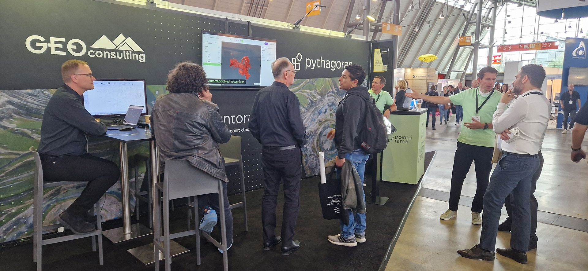
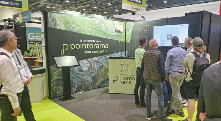
GEOBusiness 2025 — London
Unlock the Future of Geospatial Technology with Us in London
GEOBusiness is one of the UK's most prominent geospatial industry events, attracting thousands of surveyors, engineers, and geospatial professionals. The two-day event showcases the latest tools, technologies, and software solutions revolutionizing land surveying, mapping, and geospatial data analysis.
Whether you're focused on construction, urban development, or environmental analysis, GEOBusiness offers a first-hand look at the technology shaping the future of geospatial work.
- Experience cutting-edge innovations in surveying and data analysis.
- Discover Pointorama's newest features as it celebrates 1 year of innovation, offering faster workflows and smarter point cloud management.
- Experience the power of integration as Pointorama and Pythagoras work more closely together, creating a seamless link between cloud-based processing and CAD design.
- See what's new in Pythagoras, with fresh updates and enhanced tools to boost accuracy, efficiency, and project success.
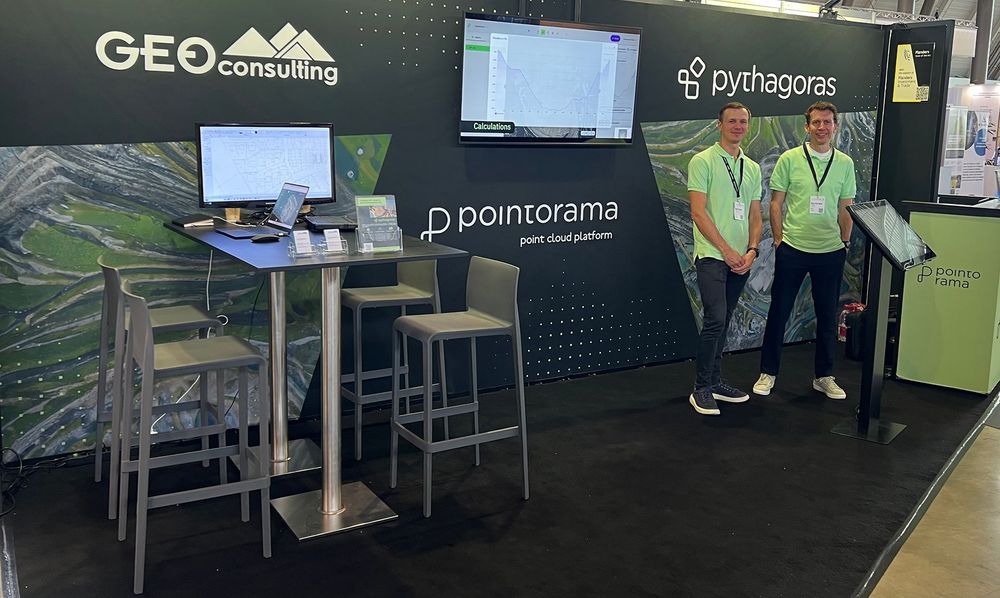
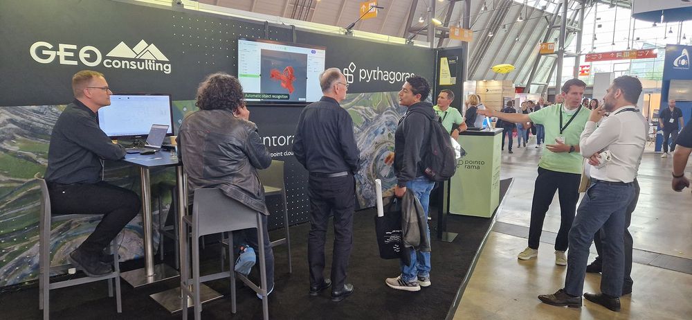
INTERGEO 2025 — Frankfurt
Where global geospatial innovation comes together
INTERGEO is the world's largest event for geodesy, geoinformation, and land management. Each year, thousands of industry professionals from across the globe come together to discover the next wave of innovation in surveying, mapping, GIS, and drone technology.
For surveyors, geospatial engineers, and mapping specialists, INTERGEO remains a "must-attend" event to stay ahead of industry trends and embrace new tools that can save time, reduce costs, and improve data accuracy.
- Explore the latest in geospatial software and hardware solutions.
- Discover the intersection of technology and urban development, as this year's event will showcase how geospatial solutions are driving smart city planning and sustainable growth.
- Discover the latest innovations in surveying, data analysis, and point cloud processing with Pointorama, celebrating 1 year of enhanced features that streamline workflows and improve accuracy.
- Experience the continuous evolution of Pythagoras, with powerful new tools and improvements that elevate your CAD design and data management capabilities.
Why these events should be on your radar
GEOBusiness and INTERGEO aren't just trade shows — they're launchpads for new technology, insights, and connections. By attending, you'll be able to:
- Streamline your workflows with cutting-edge tools like Pointorama.
- Connect with industry leaders and peers from across the globe.
- Get hands-on with new tools and stay up-to-date on the latest software updates.
Whether you're looking to improve efficiency, adopt new technology, or explore innovative approaches to geospatial data, these events are essential for surveyors and industry professionals alike.
Where else should we be in 2025?
We're always looking to connect with more professionals in the geospatial field. Do you have a recommendation for another trade show or event we should attend in 2025? Let us know! We're eager to expand our reach and showcase our solutions to a broader audience.
Get in touch — We'd love to hear from you. Share your event recommendations or schedule a meeting with us to learn how Pointorama and our other geospatial solutions can elevate your projects. You can also contact us here.
Stay ahead of the curve — and we'll see you at GEO Business 2025 and INTERGEO 2025!
Related articles
Pointorama on tour: meet us at key events in 2026
Meet Pointorama at key events in 2026. Discover new features, explore innovations and connect with our team across Europe.In 2026, Pointorama will be present at leading geospatial events across Europe, including GeoBusiness, Intergeo and Trefdag Digitaal Vlaanderen. Discover our latest innovations, explore new workflows and experience how much our technology has evolved when you meet us in person.

Innovations at Intergeo '25 – Discover the next features of Pythagoras CAD & Pointorama
Bezoek ons op Intergeo 2025 in Frankfurt en ontdek de nieuwste features van Pythagoras & Pointorama. Vraag je gratis ticket of boek een demo!
The fastest way to create accurate floor plans
Our community is growing, and therefore an introduction is in order. Pointorama turns scans into accurate 2D and 3D floor plans within minutes. With centimeter-level precision and seamless export to CAD and BIM, professionals can work faster, smarter and without the hassle of manual cleanup.