Pointorama's Magic Wand: The smarter way to edit point clouds
Pointorama's Magic Wand simplifies point cloud editing with AI-driven clustering and an intuitive interface. Save time, enhance precision, and streamline workflows - perfect for professionals and beginners alike.
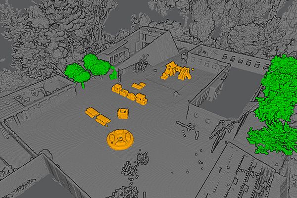
A smarter way to edit point clouds
Traditional tools like 2D or lasso selectors require manual adjustments, which are time-consuming and prone to errors. Our Magic Wand tool changes the game by leveraging point clustering. Instead of selecting individual points, it groups neighboring points that share similar properties—such as geographic proximity, intensity, or geometry.
This approach means fewer clicks and more precise results. You can effortlessly isolate large areas, such as a building facade or a patch of vegetation, with unparalleled ease and accuracy.
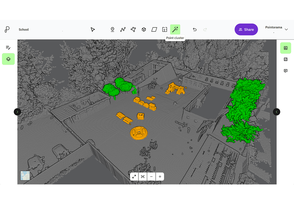
Complete control over your datasets
Point cloud segmentation isn't just about organization—it's a gateway to advanced filtering. Our Magic Wand tool allows you to do far more than clean up clutter.
These filtering options give you complete control over your datasets, making even the most complex projects manageable.
- Remove manmade structures from natural terrains.
- Hide vegetation in rural or forested areas.
- Isolate buildings for architectural studies.
- Highlight key features like pipes in infrastructure projects.
- Virtually remove rooftops to improve line-of-sight visibility.
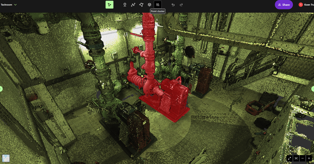
See the Magic Wand at work
The selection philosophy you already know
The Magic Wand tool is inspired by the iconic selection tool found in 2D software like Photoshop. But it takes that concept to the next level, applying the same intuitive selection philosophy to 3D environments. With its ability to understand spatial relationships and depth, the Magic Wand tool makes selecting and editing in 3D as straightforward as working in 2D.

Versatile across technologies and environments
One of the best features of the Magic Wand tool is its versatility. It works seamlessly with any type of point cloud, whether it's generated by laser scanners, photogrammetry, SLAM devices, or other technologies.
This flexibility also extends to its environment compatibility. Whether you're working on terrains, infrastructure projects, indoor spaces or outdoor landscapes, the Magic Wand tool adapts effortlessly to your needs.
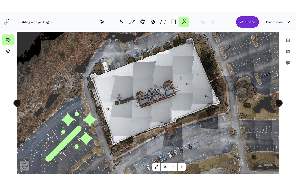
Intelligent but easy to use
Although it's built on cutting-edge AI, the Magic Wand tool is designed to be user-friendly. Its low-entry design ensures that even first-time users can achieve professional results. With Pointorama, complex point cloud editing doesn't require extensive expertise—just a few clicks.
More than selection and filtering
The Magic Wand tool is also a critical step for data structuring and classification. By segmenting point clouds into meaningful clusters, you can label sections for better navigation and analysis. The benefits are clear:
- Faster workflowsOrganized datasets are easier to process.
- Improved decision-makingClassified point clouds provide valuable insights.
- Enhanced project efficiencyStructured data speeds up downstream applications, such as CAD modeling and GIS analysis.
The smarter way to edit point clouds
Pointorama's Magic Wand tool is revolutionizing how professionals edit, filter, and classify point cloud data. By combining the power of AI-driven clustering with an easy-to-use interface, it provides a smarter, faster, and more precise way to manage your datasets.
Whether you're isolating key features, cleaning up clutter, or structuring data for further analysis, the Magic Wand tool is your ultimate companion for efficient point cloud editing.
Related articles

Innovations at Intergeo '25 – Discover the next features of Pythagoras CAD & Pointorama
Bezoek ons op Intergeo 2025 in Frankfurt en ontdek de nieuwste features van Pythagoras & Pointorama. Vraag je gratis ticket of boek een demo!
Stronger together: how partnerships drive innovation at Pointorama
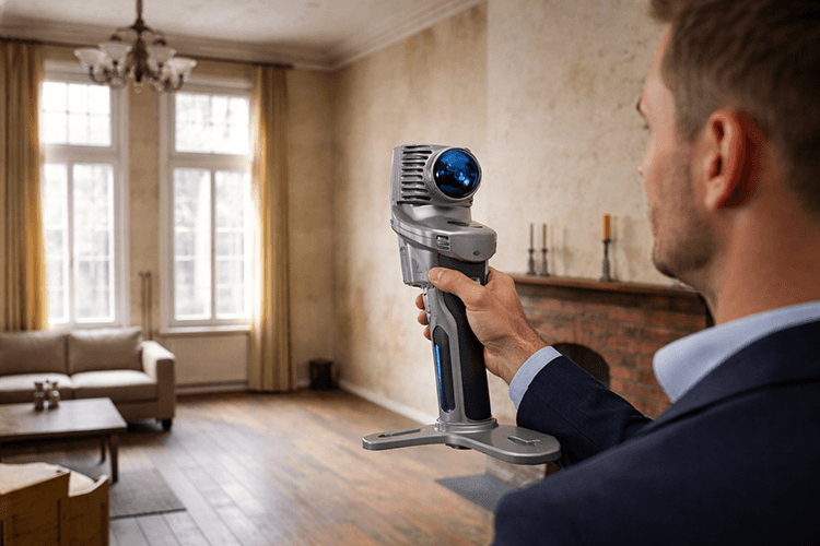
Partnerships are the driving force behind innovation at Pointorama. By connecting hardware, software and expertise, we transform raw scan data into structured, usable results through seamless workflows.
The fastest way to create accurate floor plans
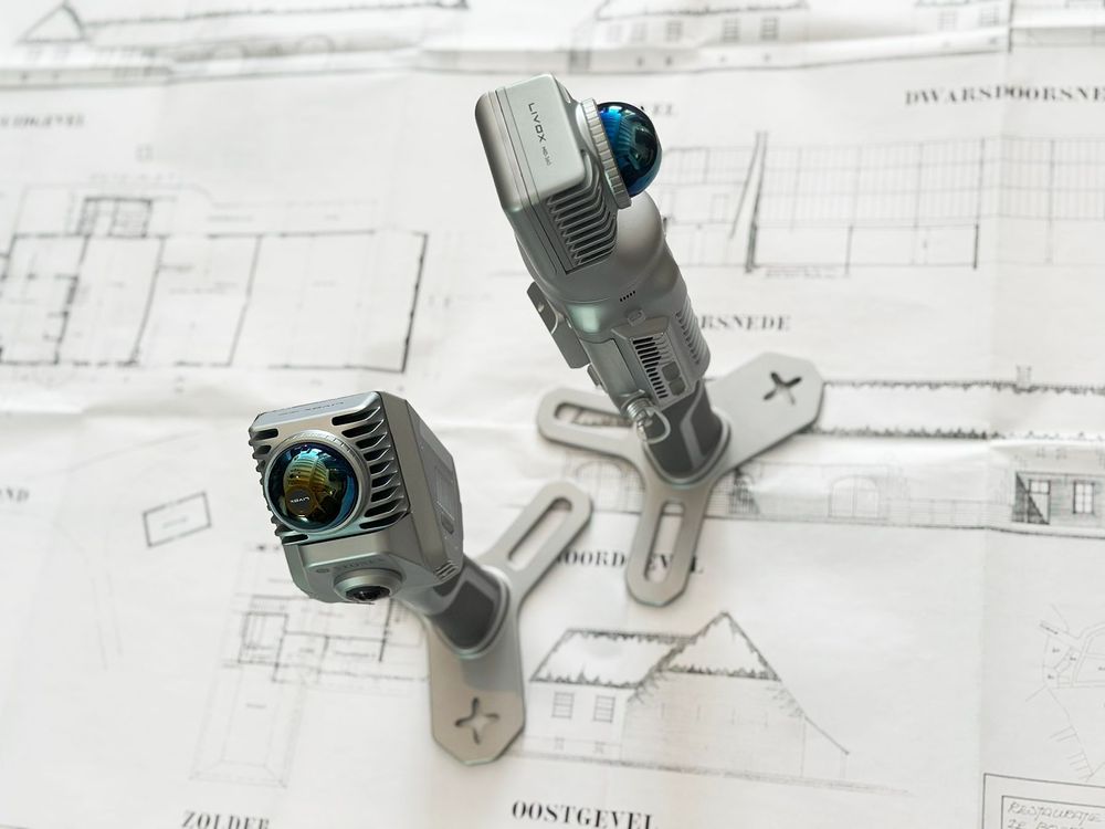
Our community is growing, and therefore an introduction is in order. Pointorama turns scans into accurate 2D and 3D floor plans within minutes. With centimeter-level precision and seamless export to CAD and BIM, professionals can work faster, smarter and without the hassle of manual cleanup.