Scanning is getting faster. Now the workflow needs to catch up.
SLAM scanning is faster and more accessible than ever, but what happens after the scan? At INTERGEO 2026, one challenge came up again and again: the bottleneck is shifting from capturing data to processing it. We look at why the next efficiency gain in reality capture lies in the journey from scan to deliverable.

What INTERGEO 2026 taught us about the next challenge in reality capture
Three days at INTERGEO, hundreds of conversations and one observation that kept coming back: SLAM scanning is becoming an increasingly important part of reality capture.
SLAM scanners are expanding
The number of handheld and mobile scanners on the exhibition floor was hard to miss. New manufacturers are entering the market, established brands are expanding their range, and more professionals are integrating SLAM scanners into their daily workflows.
There is a good reason for that. SLAM makes it possible to move through a building while continuously capturing its geometry. Compared with static scanning workflows, this can significantly reduce the time needed for data acquisition in the field.
But faster scanning exposes another problem.

The bottleneck is moving
A recurring message in our conversations at INTERGEO was surprisingly consistent:
“Scanning is fast. Processing the data afterwards isn’t.”
A point cloud is a highly detailed representation of reality, but it is not yet the deliverable most customers need. For many projects, the required result is a floor plan, CAD drawing or BIM model. Getting from millions of individual measured points to that structured geometry requires additional steps.
Floors need to be identified. Rooms and walls need to be reconstructed. Doors and windows need to be located. Measurements need to be extracted and the resulting geometry needs to be checked.
In many existing workflows, a significant part of this work still involves manually interpreting and tracing the point cloud. This isn't just something we heard at INTERGEO. Research into Scan-to-BIM workflows identifies the same challenge. One industry survey found that 80.1% of respondents agreed that manually modelling geometry from point clouds remains a time-consuming step.(1) More recent research continues to identify manual processing and fragmentation between acquisition and modelling as limitations in Scan-to-BIM workflows. (1)
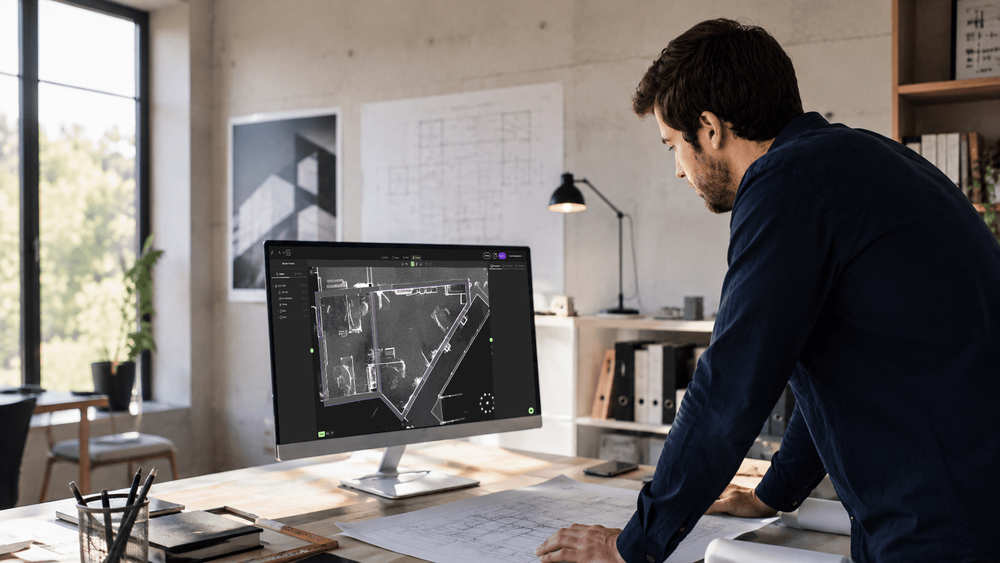
A fast scanner needs a fast workflow
What was particularly interesting at INTERGEO was that this issue wasn't only raised by surveyors and other scanner users.
Scanner manufacturers and resellers see it too.
As scanning hardware becomes faster and easier to use, attention is shifting towards what happens with the data afterwards. Selling a scanner is one thing. Providing a workflow that helps users turn the captured data into something useful is another.
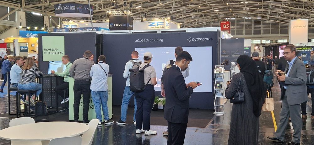
A changed workflow
And that changes the question we should be asking.
It is no longer only: How quickly can we scan a building?
But increasingly: How quickly can we go from scan to deliverable?
Where automation can make the difference
This is where automated point-cloud processing becomes particularly interesting. Research into automated Scan-to-BIM already focuses on processes such as semantic segmentation, measurement extraction and 3D reconstruction. Algorithms can help identify structural elements in point clouds and use them to reconstruct geometry. (1)
That doesn't mean removing the surveyor from the process.
Point clouds represent real environments. They contain noise, occlusions and incomplete data, while buildings themselves are rarely geometrically perfect. Recent research therefore still highlights the importance of verification and the limitations of fully automated reconstruction, particularly in complex environments.
The opportunity lies in combining both: Automation where it matters, control where it counts.
Let software handle repetitive work such as detecting floors, reconstructing rooms and identifying building elements, while allowing the professional to verify and adjust the result against the original measurements.
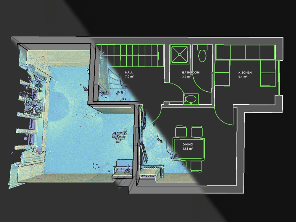
From scan to deliverable
That is also the problem we are addressing with Pointorama.
Pointorama starts where the scanner finishes: with the point cloud. The goal is to shorten the processing stage between captured data and a usable floor plan, CAD drawing or BIM model.
And if there is one conclusion we took home from INTERGEO, it is this: The next big efficiency gain in reality capture won't come from scanning alone.
It will come from making the entire workflow - from scan to deliverable - faster.
(1) Patil, J., & Kalantari, M. (2025). Automatic Scan-to-BIM—The Impact of Semantic Segmentation Accuracy. Buildings, 15(7), 1126