5 Sustainable benefits of using a point cloud platform
Explore the sustainable benefits of point cloud platforms in construction, surveying, and infrastructure. Discover how these technologies enhance efficiency, minimize environmental impact, and foster collaboration for a greener future in our latest blog post.
Efficient project monitoring
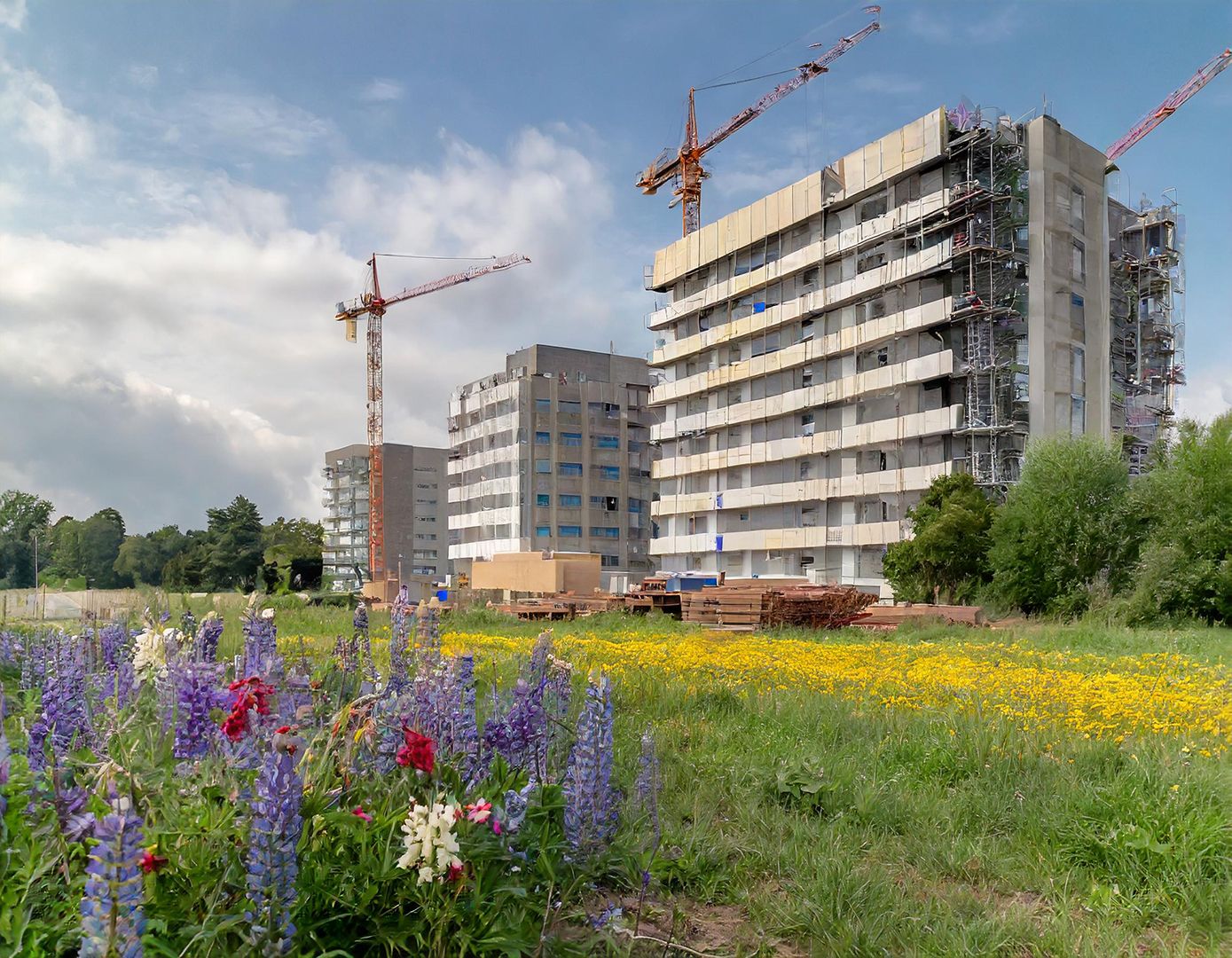
Gone are the days of constant meetings with subcontractors and manual site inspections. With point cloud platforms, field engineers equipped with drones or 3D scanners can monitor project progress with unparalleled accuracy. By capturing detailed measurements that align with design plans, these platforms enable early detection of issues, minimizing the need for rework. This not only saves valuable time and resources but also reduces unnecessary waste of materials, contributing to a more sustainable construction process.

Facilitating efficient collaboration
In today's workplace, seamless collaboration among colleagues is essential for productivity. Point cloud platforms streamline teamwork by enabling real-time access to shared data. With these platforms, colleagues can work together on the same set of data, ensuring alignment and up-to-date information. This fosters innovation and knowledge sharing within the organization, driving continuous improvement. By embracing point cloud platforms for collaborative work, organizations enhance efficiency and achieve better project outcomes.

3. Remote collaboration
In an era where remote work is increasingly prevalent, point cloud platforms offer a solution that minimizes travel and reduces carbon footprint. By enabling remote collaboration, these platforms allow teams to work efficiently without the need for extensive travel. Whether it's conducting measurements or analyzing data, remote access to point cloud platforms enhances productivity while reducing the environmental impact associated with commuting.
Minimal environmental impact
Conventional land surveying practices typically require extensive preparation, including clearing sightlines and allocating space for surveying teams. Unfortunately, these activities can inflict notable harm on delicate ecosystems. Enter point cloud platforms — a game-changer in minimizing environmental impact.
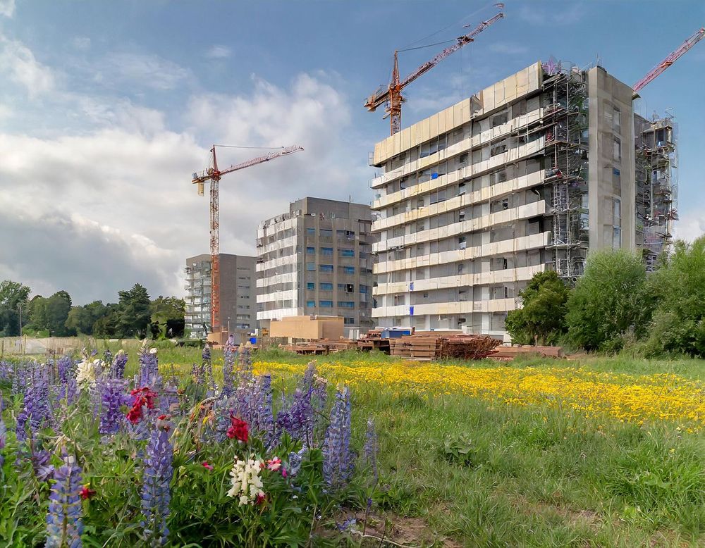
Point cloud platforms leverage advanced technology to revolutionize surveying methods. By integrating drones and sophisticated software, these platforms offer an eco-friendly alternative to traditional approaches. Drones equipped with high-resolution cameras can take off from virtually anywhere, eliminating the need for extensive site preparation. As a result, there's no disruption to natural habitats or the need to clear vegetation.
Software efficiency
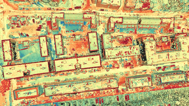
Optimized algorithms and workflows inherent in point cloud platforms lead to faster processing times, ultimately reducing energy consumption. By streamlining data processing and analysis, these platforms minimize the computational resources required, contributing to overall energy efficiency. This not only benefits the environment by reducing carbon emissions but also enhances operational efficiency for businesses.
In conclusion
The adoption of point cloud platforms presents a multitude of sustainable benefits across various industries. From minimizing redundancy and environmental impact to enhancing software efficiency and fostering collaboration, these platforms pave the way for a more sustainable future. By leveraging innovative technologies and embracing a holistic approach to sustainability, businesses can drive positive change while achieving their goals.
Download your free white paper on indoor mapping
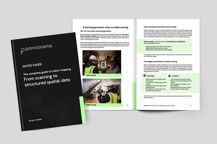
Dive into the fundamentals of indoor mapping and better understand the technology behind the workflow. Download our free white paper and discover how scanning, point clouds and floor plan generation come together.
Related articles
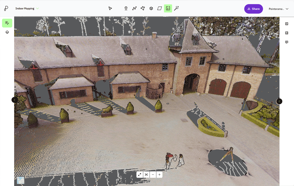
Point cloud registration: what it is and why it matters
At GEO Business we talked a lot about smarter workflows, but it all starts with accurate data. And when working with multiple scans, that means registration. In short: point cloud registration aligns different scans into one coherent 3D dataset - so you can model, measure, and monitor with confidence.
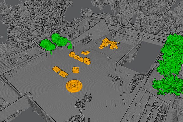
Pointorama's Magic Wand: The smarter way to edit point clouds
Pointorama's Magic Wand simplifies point cloud editing with AI-driven clustering and an intuitive interface. Save time, enhance precision, and streamline workflows - perfect for professionals and beginners alike.
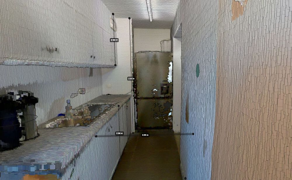
Accurate indoor measurements made easy with Pointorama
Quick, reliable, and truly intelligent. With built-in surface recognition, you can now measure walls, ceilings and floors directly within your digital floorplan - no extra tools, no second-guessing. Whether you're in surveying, real estate, or architecture, this is accuracy made effortless.